


10,8 km | 25 km-effort
Gadmen : découvrez les meilleures randonnées : 5 a pied et 3 marche. Tous ces circuits, parcours, itinéraires et activités en plein air sont disponibles dans nos applications SityTrail pour smartphones et tablettes.
Marche


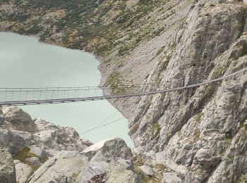
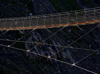
• Parking gratuit Le pont du Trift est l’un des ponts piétonniers suspendus les plus spectaculaires des Alpes. Haut de...
A pied
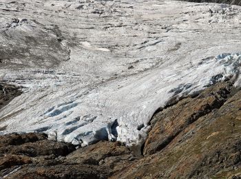
• Triftbrücke - Trifthütte
A pied
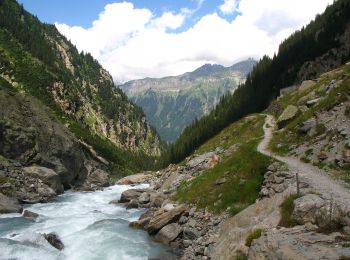
• Schwendi - Underi Trift
A pied
• Furen - Underi Trift
A pied
• Schwendi - Underi Trift
A pied
• Symbole: weiss-blau-weiss

Marche
•
Marche
8 randonnées affichées sur 8
Application GPS de randonnée GRATUITE
 SityTrail
IGN / Instituts géographiques
SityTrail World
Le monde est à vous