


9,2 km | 12,5 km-effort
Valbroye : découvrez les meilleures randonnées : 3 marche. Tous ces circuits, parcours, itinéraires et activités en plein air sont disponibles dans nos applications SityTrail pour smartphones et tablettes.
Marche


• De Granges Coumin Surpierre et Villeneuve

Marche
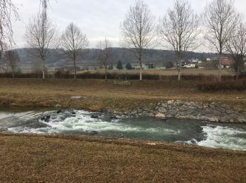
•

Marche
• Laisser la voiture au parking de la Grange. Rejoindre la grand route que l'on suit jusqu'à Marnand. Prendre la direct...
3 randonnées affichées sur 3
Application GPS de randonnée GRATUITE
 SityTrail
IGN / Instituts géographiques
SityTrail World
Le monde est à vous