


14,5 km | 16,4 km-effort
District de la Riviera-Pays-d’Enhaut : découvrez les meilleures randonnées : 5 a pied, 31 marche, 1 marche nordique et 6 course à pied. Tous ces circuits, parcours, itinéraires et activités en plein air sont disponibles dans nos applications SityTrail pour smartphones et tablettes.

Marche


•
A pied
• Randonnée créée par Narcisses Riviera. Site web: http://www.narcisses.ch/narcisse_parcours_avants.php

Marche
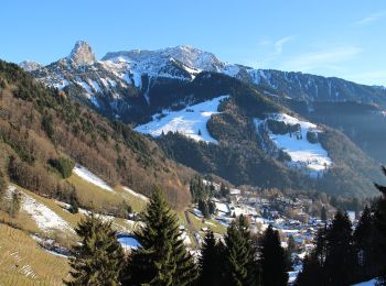
• Suivre les indicateurs col de Sonlomont. Malheureusement une route en dure vous y mène. Heureusement qu'il y a de bel...
Marche
• ballade sur le barrage
Marche
• Parking Col de JAMAN
Marche
•
Marche
•
Marche
•
Marche
•
Marche
•
Marche
•
Marche
•
Marche
• Au départ des Hauts de Caux boucle sympa par le Col de Jaman, les grottes de Nayes
Marche nordique

A pied
• Derrière la gare de Montreux, sur la « Rue de la Gare » se trouvent les panneaux pédestres indiquant les « Gorges du ...
A pied
• Balisage: panneau de bois sur lequel est gravé un narcisse. Narcisses en fleurs généralement à la mi-mai.
A pied
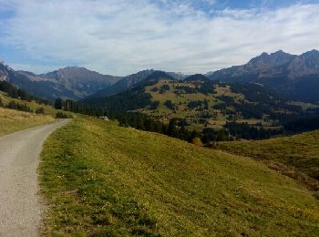
• Parcours : du parking de Haut de Caux (1155 m.), prendre la route goudronnée des Raveyres. Après un peu plus d’un kil...
A pied
• Parcours : du parking de Haut de Caux (1155 m.), prendre la route goudronnée des Raveyres. Après un peu plus d’un kil...

Course à pied
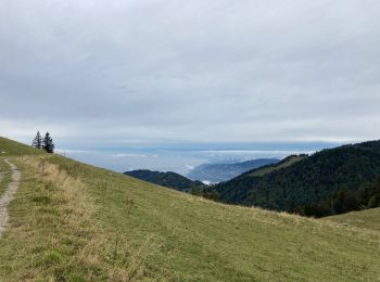
• De la gare des Avants (960 m.), revenir sur la route de Chamby sur 200 mètres et guetter à droite un escalier qui se ...
A pied
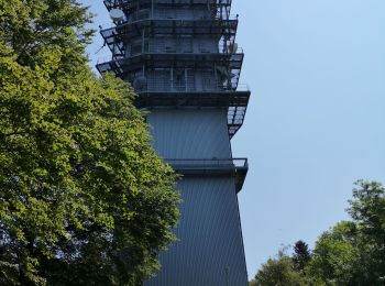
• Partez à la découverte du Mont Pèlerin et de sa tour, depuis laquelle une vue imprenable sur le lac Léman vous est do...
20 randonnées affichées sur 42
Application GPS de randonnée GRATUITE
 SityTrail
IGN / Instituts géographiques
SityTrail World
Le monde est à vous