
- Randonnées
- A pied
- Suisse
- Grisons
- Region Engiadina Bassa/Val Müstair
Region Engiadina Bassa/Val Müstair, Grisons, A pied : Les meilleures randonnées, itinéraires, parcours, balades et promenades
Region Engiadina Bassa/Val Müstair : découvrez les meilleures randonnées : 51 a pied et 10 marche. Tous ces circuits, parcours, itinéraires et activités en plein air sont disponibles dans nos applications SityTrail pour smartphones et tablettes.
Les meilleurs parcours (61)
Km
A pied


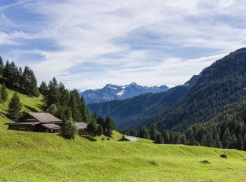
• Griosch - Fimberpass Symbole: weiss-rot-weiss
Km
A pied


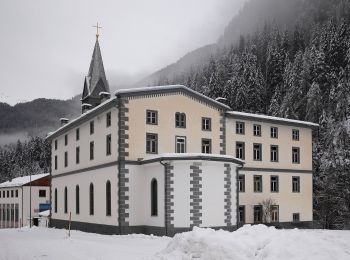
• Martina - Alp Tea Symbole: weiss-rot-weiss
Km
A pied


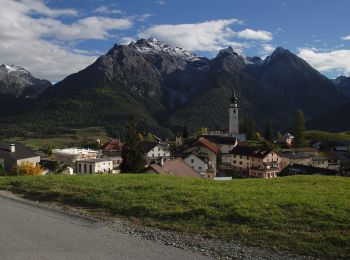
• Symbole: weiss-rot-weiss
Km
A pied


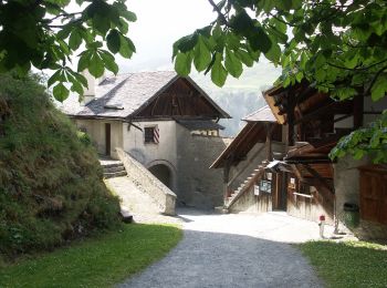
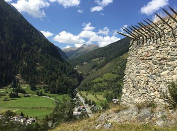
• Chaposch - Gurlaina Symbole: gelber Diamant
Km
A pied


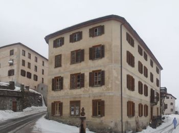
• Susch - Lavin Symbole: gelber Diamant
Km
A pied


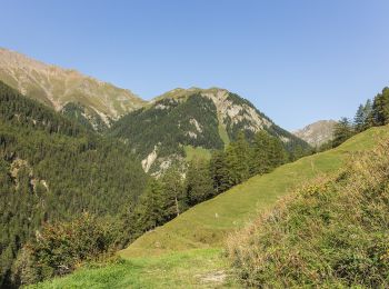
• Lavin - Sur En Symbole: gelber Diamant
Km
A pied


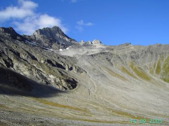
• Vna - Piz Arina Symbole: weiss-rot-weiss
Km
A pied


• Griosch - Furcla Maisas Symbole: weiss-rot-weiss
Km
A pied


• Symbole: weiss-rot-weiss
Km
A pied


• Symbole: weiss-rot-weiss
Km
A pied


• Randonnée créée par BAW Bündner Wanderwege. Symbole: weiss-rot-weiss

Km
A pied


• Randonnée créée par BAW Bündner Wanderwege. Symbole: weiss-blau-weiss
Km
A pied


• Randonnée créée par BAW Bündner Wanderwege. Symbole: weiss-rot-weiss
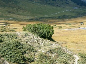
Km
A pied


• Randonnée créée par BAW Bündner Wanderwege. There are two parallel routes marked between Alp Astras and Plan d'Immez...

Km
A pied


• Randonnée créée par BAW Bündner Wanderwege. There are two parallel routes marked between Alp Astras and Plan d'Immez...

Km
A pied


• Symbole: weiss-rot-weiss
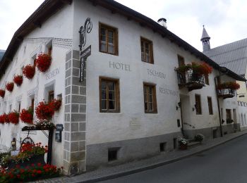
Km
A pied


• Symbole: weiss-rot-weiss
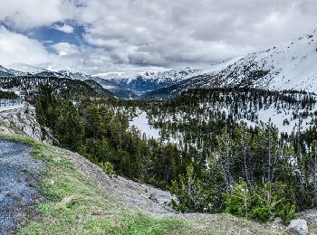
Km
A pied


• Randonnée créée par BAW - Bündner Wanderwege. Symbole: weiss-rot-weiss
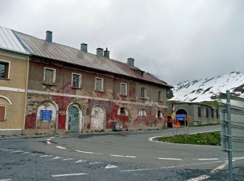
Km
A pied


• Randonnée créée par Bündner Wanderwege. Symbole: weiss-rot-weiss

Km
A pied


• Randonnée créée par Bündner Wanderwege. Symbole: weiss-rot-weiss
20 randonnées affichées sur 61
Application GPS de randonnée GRATUITE


 SityTrail


