


11 km | 17,4 km-effort
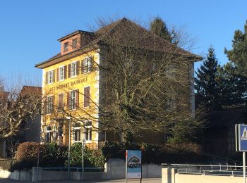
Wettingen : découvrez les meilleures randonnées : 12 a pied. Tous ces circuits, parcours, itinéraires et activités en plein air sont disponibles dans nos applications SityTrail pour smartphones et tablettes.
A pied


• Symbole: Schwarze 1 auf gelbem Hintergrund
A pied
• Symbole: Schwarze 2 auf orangem Hintergrund
A pied
• Symbole: Weisse 5 auf violettem Hintergrund

A pied
• Symbole: Weisse 7 auf blauem Hintergrund
A pied
• Mooshalden - Eggetsacher Symbole: gelbe Raute
A pied
• Randonnée créée par Zürcher Wanderwege ZAW. Symbole: gelbe Raute
A pied
• Randonnée créée par Verein Aargauer Wanderwege. Killwangen - Wettingen Symbole: gelber Diamant
A pied
• Randonnée créée par Verein Aargauer Wanderwege. Wettingen - Rüsler Symbole: gelber Diamant
A pied
• Schartenfels - Lägernsattel Symbole: gelbe Raute
A pied
• Lägeren Burghorn - Mooshalden Symbole: weiss-rot-weiss
A pied
• Symbole: gelbe Raute

A pied
• Symbole: gelbe Raute
12 randonnées affichées sur 12
Application GPS de randonnée GRATUITE
 SityTrail
IGN / Instituts géographiques
SityTrail World
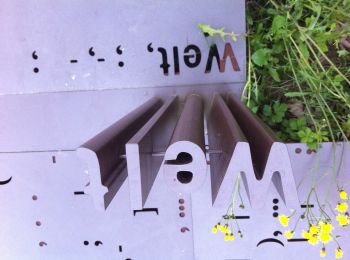
Le monde est à vous