


6,3 km | 8,1 km-effort
Winterthour : découvrez les meilleures randonnées : 11 a pied. Tous ces circuits, parcours, itinéraires et activités en plein air sont disponibles dans nos applications SityTrail pour smartphones et tablettes.
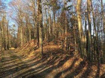
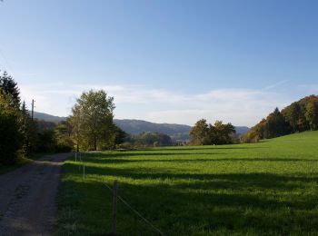
A pied


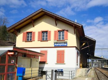
• Etappe Leisental: Sennhof Kemptthal Site web: https://www.rundweg.winterthur.ch/index.php?ref=search&refid=334444...
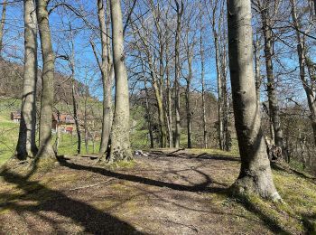
A pied
• Randonnée créée par Zürcher Wanderwege ZAW. Symbole: gelbe Raute
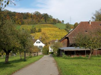
A pied
• Randonnée créée par Zürcher Wanderwege ZAW. Symbole: gelbe Raute
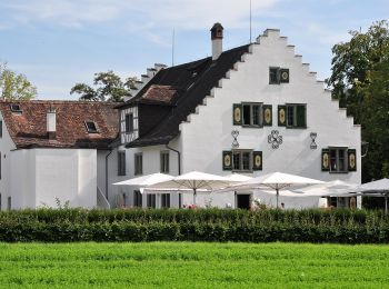
A pied
• Randonnée créée par Zürcher Wanderwege ZAW. Symbole: gelbe Raute
A pied
• Randonnée créée par Zürcher Wanderwege ZAW. Symbole: gelbe Raute
A pied
• Randonnée créée par Zürcher Wanderwege ZAW. Symbole: gelbe Raute
A pied
• Randonnée créée par Zürcher Wanderwege ZAW. Symbole: gelbe Raute
A pied
• Randonnée créée par Zürcher Wanderwege ZAW. Symbole: gelbe Raute
A pied
• Randonnée créée par Zürcher Wanderwege ZAW. Symbole: gelbe Raute

A pied
• Randonnée créée par Zürcher Wanderwege. Symbole: gelbe Raute
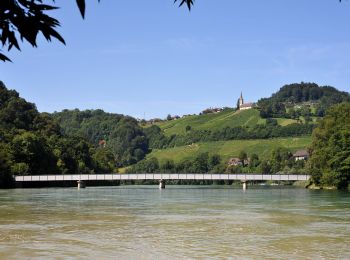
A pied
• Randonnée créée par Wanderland Schweiz. Symbole: Weinrebe zusammen mit schwarzer Schrift Tössegg Klettgau Weg in grü...
11 randonnées affichées sur 11
Application GPS de randonnée GRATUITE
 SityTrail
IGN / Instituts géographiques
SityTrail World
Le monde est à vous