


25 km | 27 km-effort
Calmpthout : découvrez les meilleures randonnées : 7 a pied, 31 marche et 1 trail. Tous ces circuits, parcours, itinéraires et activités en plein air sont disponibles dans nos applications SityTrail pour smartphones et tablettes.
Marche


Marche
Marche
A pied
A pied
A pied
A pied
A pied
A pied
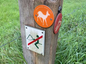
• Symbole: deer
Marche
Marche
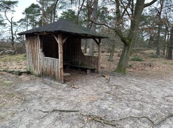
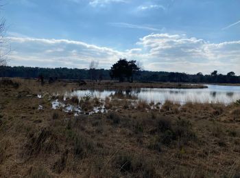
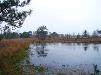
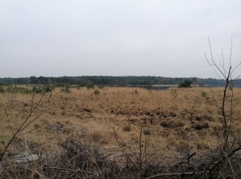
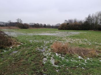
• Heidegebied met de typische vennen. Vertrek en aankomst : parking de Vroente
Marche
Marche
Marche
Marche
Marche
Marche
Marche

A pied
• 18km et 100 D+
Marche
• Belgique et Pays -Bas
20 randonnées affichées sur 39
Application GPS de randonnée GRATUITE
 SityTrail
IGN / Instituts géographiques
SityTrail World
Le monde est à vous