


11,6 km | 13,2 km-effort
Lanaken : découvrez les meilleures randonnées : 7 a pied et 8 marche. Tous ces circuits, parcours, itinéraires et activités en plein air sont disponibles dans nos applications SityTrail pour smartphones et tablettes.
A pied


• Randonnée créée par Regionaal Landschap Kempen en Maasland. Symbole: triangle
A pied
• Randonnée créée par Regionaal Landschap Kempen en Maasland. Symbole: diamond
A pied
• Randonnée créée par Regionaal Landschap Kempen en Maasland. Symbole: rectangle
A pied
• Randonnée créée par Regionaal Landschap Kempen en Maasland. Symbole: hexagon
A pied
• Randonnée créée par Regionaal Landschap Kempen en Maasland. Symbole: diamond
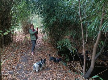
Marche
• promenade avec chien

A pied
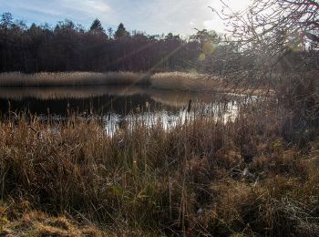
• Vous marchez du sud au nord sur le bord du plateau de la Campine et apprenez à connaître le paysage de landes. Vous a...
Marche
A pied
• Randonnée créée par Regionaal Landschap Kempen en Maasland. Symbole: rectangle

Marche
• Marche du dernier samedi de septembre
Marche
• More information on : http://www.wandelgidszuidlimburg.com
Marche
• More information on : http://www.wandelgidszuidlimburg.com
Marche
Marche
Marche
15 randonnées affichées sur 15
Application GPS de randonnée GRATUITE
 SityTrail
IGN / Instituts géographiques
SityTrail World
Le monde est à vous