


12,4 km | 13,6 km-effort
Tongres : découvrez les meilleures randonnées : 8 a pied et 57 marche. Tous ces circuits, parcours, itinéraires et activités en plein air sont disponibles dans nos applications SityTrail pour smartphones et tablettes.
Marche


• 🇧🇪 Tongres, la première ville de Belgique ! Une ville pleine d'histoire, de culture et d'antiquités. Le plus célèbr...
A pied
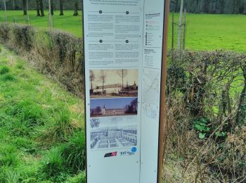
• Randonnée créée par Stad Tongeren.
A pied
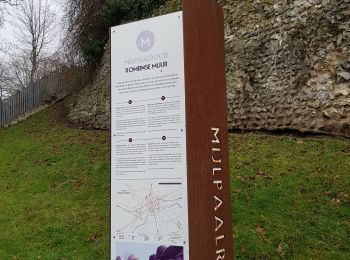
• Symbole: aardgas
A pied
• Randonnée créée par Regionaal Landschap Haspengouw en Voeren. Symbole: arrow
A pied
• Randonnée créée par Natuurpunt. Symbole: square
Marche
• Beau parcours en 2 boucles. 📌 Parking du parc Plinius, Fonteindreef 8. Dos au parking, départ à gauche pour la boucl...
Marche
• 🇧🇪 [La der] Ça devient une tradition de terminer l'année par une dernière randonnée à Tongres avant un pré-réveillo...
Marche
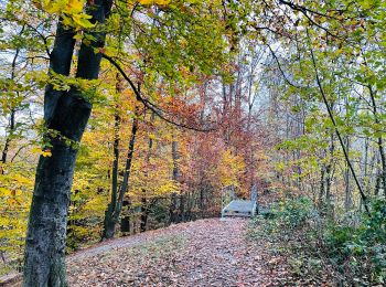
• bois et chemin bétonné attention peut être très boueux. Attention Commencer par la grande boucle puis la petite bou...
Marche
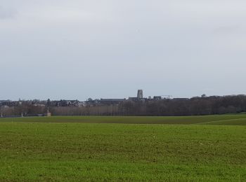
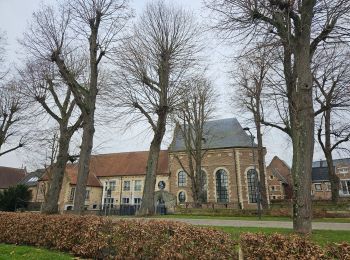
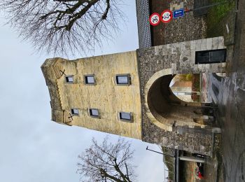
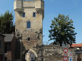
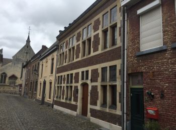
• Petit tour du 🅿️ gratuit au centre-ville en passant par les remparts, la Basilique, la statue d'Ambiorix et le bégu...
Marche
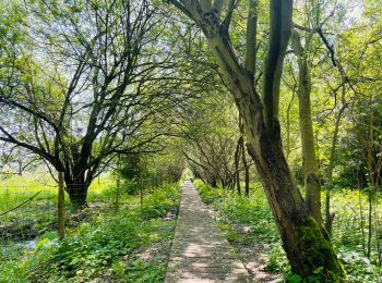
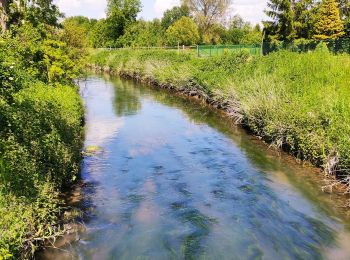
• Se déroulant dans la réserve naturelle De Kevie à Tongres, cette promenade vous emmènera, a travers bois, le long du ...
Marche
• Promenade près d’un ancien aqueduc romain à côté de Tongres. Entre champs, vergers et bois, la balade vous mènera sur...
A pied
• Randonnée créée par Natuurpunt. Symbole: disk
A pied
Marche
• 🅿️ Départ et Parking: Oude Blaarstraat 7, 3700 Tongeren – Le départ se fait après le pont. ▶️ Suivre la balise « ca...

Marche
• Facile
Marche
Marche
• Randonnée natuur park de Kevie

Marche
• BELLE
Marche
• 5,4KM

A pied
20 randonnées affichées sur 65
Application GPS de randonnée GRATUITE
 SityTrail
IGN / Instituts géographiques
SityTrail World
Le monde est à vous