


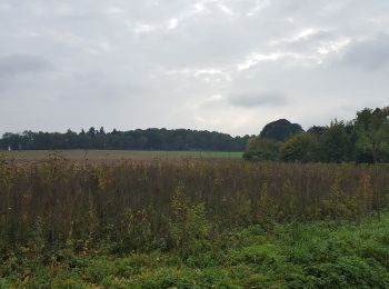
5 km | 5,7 km-effort
Zelem : découvrez les meilleures randonnées : 4 a pied et 4 marche. Tous ces circuits, parcours, itinéraires et activités en plein air sont disponibles dans nos applications SityTrail pour smartphones et tablettes.
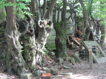
A pied


• Randonnée créée par Regionaal Landschap Lage Kempen. Symbole: disk
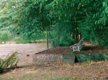
A pied
• Randonnée créée par Regionaal Landschap Lage Kempen. Symbole: diamond
A pied
• Randonnée créée par Regionaal Landschap Lage Kempen. Symbole: disk
A pied
• Randonnée créée par Regionaal Landschap Lage Kempen. Symbole: triangle
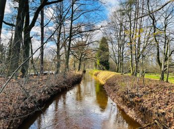
Marche
• Photo de profil de lesbaladesdebenja La vallée du Zwarte Beek à Zelem. Le Zwarte Beek est un ruisseau qui tient son ...

Marche
• More information on : http://www.wandelroutes.org
Marche
• More information on : http://www.wandelroutes.org
Marche
8 randonnées affichées sur 8
Application GPS de randonnée GRATUITE
 SityTrail
IGN / Instituts géographiques
SityTrail World
Le monde est à vous