


7,2 km | 8,4 km-effort
Bois-de-Lessines : découvrez les meilleures randonnées : 6 a pied et 10 marche. Tous ces circuits, parcours, itinéraires et activités en plein air sont disponibles dans nos applications SityTrail pour smartphones et tablettes.

A pied


• Randonnée créée par Wallonie Picarde (Antenne Tournai) . A la frontière du Parc naturel du Pays des Collines et des ...
A pied
• Randonnée créée par Wallonie Picarde (Antenne Tournai) . A la frontière du Parc naturel du Pays des Collines et d...

A pied
• Randonnée créée par Wallonie Picarde (Antenne Tournai) . A la frontière du Parc naturel du Pays des Collines et des ...
Marche
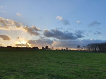
• Randonnée facile autour du village de Bois de Lessines, mi-campagne, mi-bois. Trés grasse en Hiver, cette Rando empre...

Marche
Marche
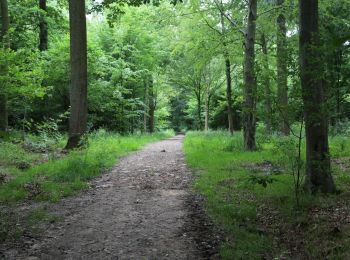
• 60% sentiers bois

A pied
• Randonnée créée par Wallonie Picarde. Site web: https://www.visitwapi.be/la-wapi-pied/les-itineraires/promenade-de...
Marche
• marche
Marche
• forêts campagne industrie carrière
Marche
• More information on : http://www.wandelroutes.org
Marche
• 23 lm
A pied
Marche
Marche
Marche
A pied
16 randonnées affichées sur 16
Application GPS de randonnée GRATUITE
 SityTrail
IGN / Instituts géographiques
SityTrail World
Le monde est à vous