


22 km | 30 km-effort
Yvoir : découvrez les meilleures randonnées : 54 a pied, 661 marche, 26 marche nordique, 9 course à pied et 9 trail. Tous ces circuits, parcours, itinéraires et activités en plein air sont disponibles dans nos applications SityTrail pour smartphones et tablettes.
Marche


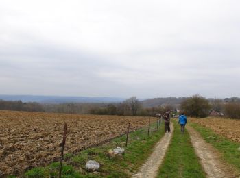
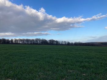
• La première partie de cette randonnée parcourt des paysages agricoles, autrefois grandes propriétés des seigneurs du ...
Marche
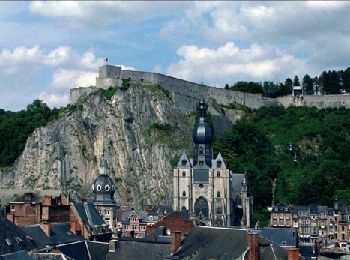
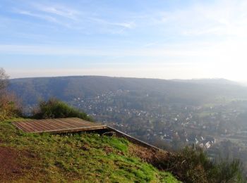
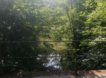
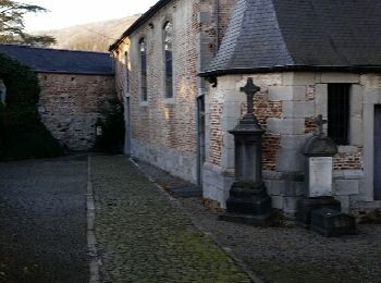
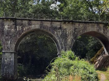
• Houx – Dinant – Bouvignes – Houx Cet itinéraire se révèle à la fois panoramique et culturel. Entre Dinant et Namur, e...
Marche
Marche
• La première partie de cette randonnée parcourt des paysages agricoles, autrefois grandes propriétés des seigneurs du ...
Marche
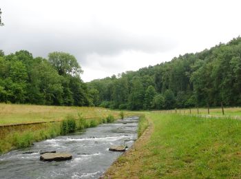
• Magnifique promenade dans la belle vallée du Bocq au départ du Moulin de Spontin.Cette balade regroupe la promenade N...
Marche
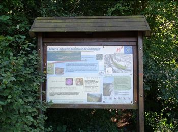
• Jolie balade d'Yvoir à Evrehailles par la Réserve Naturelle de Champalle.Départ: Eglise d'Yvoir
Marche
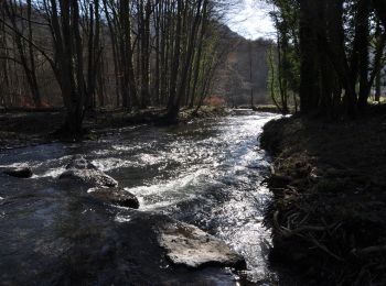
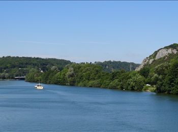
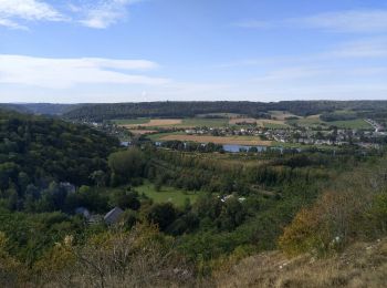
• Très belle balade dans la merveilleuse vallée de la MeuseDépart: Rue de la Ferme - Godinne
Marche
Marche
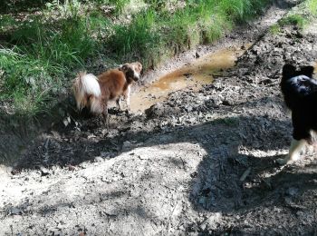
• Canin
Marche
• Une boucle au départ de Durnal, dans le nouveau quartier du Bordon, pour parcourir 5 km le long de cette belle rivièr...
Marche
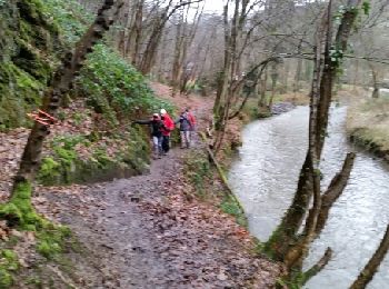
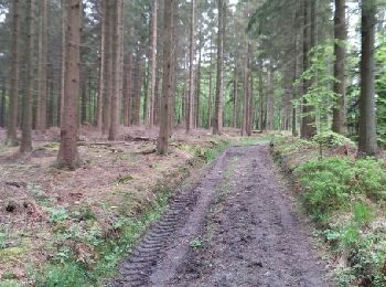
• Agréable randonnée forestière par de beaux petits sentiers . Après avoir traverser l'écluse à l' Île de Houx, un peu ...
Marche
• Très belle balade au départ de la "Brasserie du Bocq" par le chemin des "Bourriques", la vallée du Bocq et le sentier...
Marche
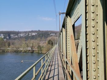
• De la Vieille Ferme rejoindre le Vieux Pont -> Rouillon -> Sept Meuses -> Ecluse de Rivière et bord de Meuse.
Marche
• La réserve Naturelle de Champalle : Un circuit en boucle de 1 km 700 permet de saisir toutes les particularités de la...
Marche
Marche
Marche
Marche
• Chien
Marche
• 9,5km
Marche
20 randonnées affichées sur 754
Application GPS de randonnée GRATUITE
 SityTrail
IGN / Instituts géographiques
SityTrail World
Le monde est à vous