


12,3 km | 15,8 km-effort
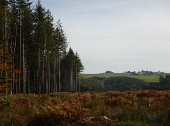
Tenneville : découvrez les meilleures randonnées : 26 a pied, 125 marche, 1 marche nordique, 4 course à pied et 1 trail. Tous ces circuits, parcours, itinéraires et activités en plein air sont disponibles dans nos applications SityTrail pour smartphones et tablettes.
Marche


Marche
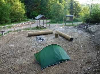
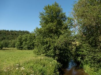
• Circuit non balisé en boucle dans le forêt de Saint-Michel.
Marche
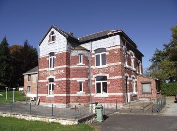
• Point de départ : l’auberge de jeunesse, rue de la Gendarmerie 3 – 6971 Barrière de Champlon. Accès : [voiture] Coo...
Marche
Marche
Marche
• Très beau parcours de 10 km avec beaucoup de bois. Très bon balisage
Marche
• 🅿️ Départ et Parking: Chemin de Mousny 14 6970 Tenneville ▶️ Suivre la balise "rectangle rouge" Cette promenade di...

A pied
• Randonnée créée par SI Tenneville.

A pied
• Randonnée créée par SI Tenneville.
A pied
• Randonnée créée par SI Tenneville.
A pied
• Randonnée créée par SI Tenneville.
A pied
• Randonnée créée par SI Tenneville.
A pied
• Randonnée créée par SI Tenneville.
A pied
• Randonnée créée par SI Tenneville.

Marche
• Pour cette première édition dans la collection Tenneville Découvertes, chaussez vos bottines, car c’est un nouvel iti...

Marche
• L’itinéraire de cette RB caracole sur des plateaux élevés et en fond de vallées, notamment l’Ourthe occidentale, dont...
Marche
• Point de départ : l’auberge de jeunesse, rue de la Gendarmerie 3 – 6971 Barrière de Champlon. Accès : [voiture] Coo...

Marche
Marche
Marche
20 randonnées affichées sur 155
Application GPS de randonnée GRATUITE
 SityTrail
IGN / Instituts géographiques
SityTrail World
Le monde est à vous