


4 km | 4,5 km-effort
Virton : découvrez les meilleures randonnées : 6 a pied, 42 marche et 4 trail. Tous ces circuits, parcours, itinéraires et activités en plein air sont disponibles dans nos applications SityTrail pour smartphones et tablettes.
Marche


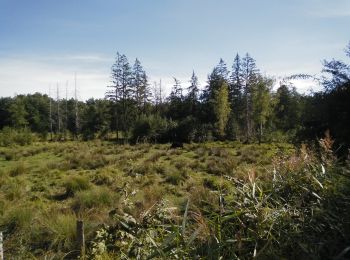
• Petite marche autour des Fagnes Pierrard et de la Réserve Naturelle des Marais du Ton. Elle passe sur le Ravel (ligne...
Marche
• Départ/Retour: Virton (Val d'Away) Endroits de passage: Houdrigny, Moulin de Berchiwé (la Chevratte), Chaufour, Ruiss...

A pied
• Randonnée créée par Gaume. La promenade passe près d'un cimetière militaire français de la 1ère guerre mondiale. Si...
Marche
• Départ/Retour: Virton (Delhaize) Endroits de passage : Pierrard (Institut des Arts et Métiers), Chenois, Golf Découv...
Marche
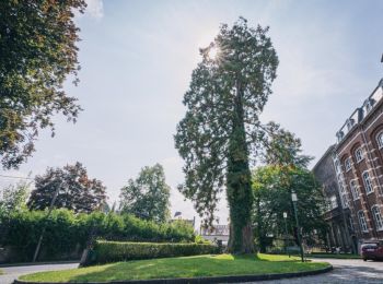
• Petite marche dans et autour de Virton Pour la santé, il est bon de pratiquer entre 30 et 40 minutes d’activité phy...

Marche
Marche

A pied
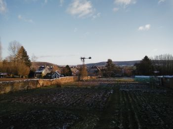
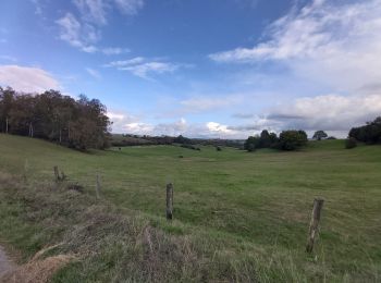
• Randonnée créée par Gaume. Cette promenade traverse le quartier de Bellevue qui porte bien son nom, en effet on peut...
A pied
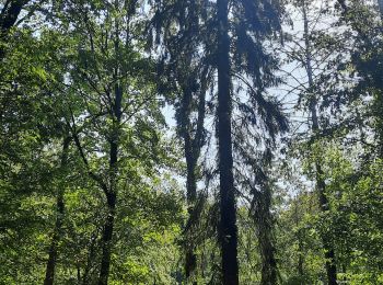
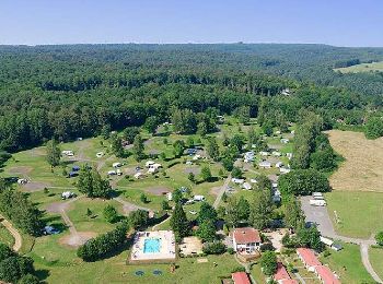
• Petit tour dynamique dans le bois "Plein Fays" en passant à côté du Camping la Colline de Rabais ★★★★
Marche
Marche
Marche
Marche
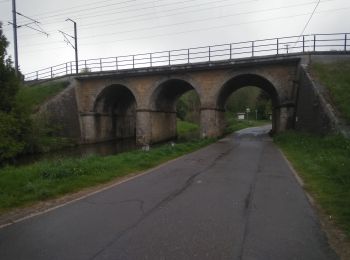
• Ce parcours emprunte, à contre-sens, une partie du Sentier Bayard. Il est possible d'éviter le ravel et réduire le pa...
Marche
Marche
Marche
Marche
• Zygomars 28-09-2019
Marche
Marche
• Virton Torgny
Marche
• Virton Torgny
20 randonnées affichées sur 52
Application GPS de randonnée GRATUITE
 SityTrail
IGN / Instituts géographiques
SityTrail World
Le monde est à vous