


19 km | 27 km-effort
Shire of South Gippsland : découvrez les meilleures randonnées : 6 marche. Tous ces circuits, parcours, itinéraires et activités en plein air sont disponibles dans nos applications SityTrail pour smartphones et tablettes.

Marche


• Telegraph Saddle to Sailer cove go and return
Marche
• Telegraph Saddle to Sailer cove go and return
Marche
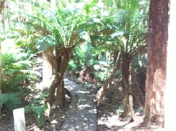
• round trip

Marche
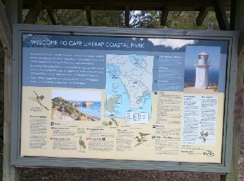
•
Marche
Marche
6 randonnées affichées sur 6
Application GPS de randonnée GRATUITE
 SityTrail
IGN / Instituts géographiques
SityTrail World
Le monde est à vous