![](/images/other/stat-length.png)
- Randonnées
- A pied
- Autriche
- Styrie
- Bezirk Voitsberg
Bezirk Voitsberg, Styrie, A pied : Les meilleures randonnées, itinéraires, parcours, balades et promenades
Bezirk Voitsberg : découvrez les meilleures randonnées : 51 a pied. Tous ces circuits, parcours, itinéraires et activités en plein air sont disponibles dans nos applications SityTrail pour smartphones et tablettes.
Les meilleurs parcours (51)
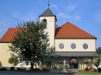
![Randonnée A pied Hirschegg-Pack - Wanderweg 41 - Photo](https://media.geolcdn.com/t/350/260/b6303f03-aa1e-49ac-bd4f-68431ed76597.jpeg&format=jpg&maxdim=2)
![A pied A pied](https://static1.geolcdn.com/sitytour/trail-icons/100.png)
Km
A pied
![](/images/other/stat-length.png)
![](https://static1.geolcdn.com/siteimages/upload/files/1508320355ic_sort_den_pos_24dp.png)
![](https://static1.geolcdn.com/siteimages/upload/files/1508320355ic_sort_den_neg_24dp.png)
![](https://static1.geolcdn.com/siteimages/upload/files/16400158638029165_repeat_loop_refresh_sync_direction_icon.png)
• Randonnée créée par TV Steirische Rucksackdörfer. http://wiki.openstreetmap.org/wiki/WikiProject_Austria/Wanderwege ...
![Randonnée A pied Hirschegg-Pack - Rucksackdörferweg - Photo](https://media.geolcdn.com/t/350/260/b6303f03-aa1e-49ac-bd4f-68431ed76597.jpeg&format=jpg&maxdim=2)
![A pied A pied](https://static1.geolcdn.com/sitytour/trail-icons/100.png)
Km
A pied
![](/images/other/stat-length.png)
![](https://static1.geolcdn.com/siteimages/upload/files/1508320355ic_sort_den_pos_24dp.png)
![](https://static1.geolcdn.com/siteimages/upload/files/1508320355ic_sort_den_neg_24dp.png)
![](https://static1.geolcdn.com/siteimages/upload/files/16400158638029165_repeat_loop_refresh_sync_direction_icon.png)
• Symbole: rot-weiss-rot 42
![Randonnée A pied Bärnbach - Wanderweg 6 - Photo](https://media.geolcdn.com/t/350/260/73c1c12a-b3f4-4a9c-954c-a764948ca781.jpeg&format=jpg&maxdim=2)
![A pied A pied](https://static1.geolcdn.com/sitytour/trail-icons/100.png)
Km
A pied
![](/images/other/stat-length.png)
![](https://static1.geolcdn.com/siteimages/upload/files/1508320355ic_sort_den_pos_24dp.png)
![](https://static1.geolcdn.com/siteimages/upload/files/1508320355ic_sort_den_neg_24dp.png)
![](https://static1.geolcdn.com/siteimages/upload/files/16400158638029165_repeat_loop_refresh_sync_direction_icon.png)
• Randonnée créée par NF Bärnbach. http://wiki.openstreetmap.org/index.php?title=WikiProject_Austria/Wanderwege Symbo...
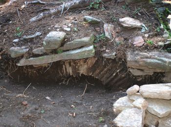
![Randonnée A pied Edelschrott - Wanderweg 62 - Photo](https://media.geolcdn.com/t/350/260/c7437b4b-47bc-4c6d-bd2d-4c98e01baa24.jpeg&format=jpg&maxdim=2)
![A pied A pied](https://static1.geolcdn.com/sitytour/trail-icons/100.png)
Km
A pied
![](/images/other/stat-length.png)
![](https://static1.geolcdn.com/siteimages/upload/files/1508320355ic_sort_den_pos_24dp.png)
![](https://static1.geolcdn.com/siteimages/upload/files/1508320355ic_sort_den_neg_24dp.png)
![](https://static1.geolcdn.com/siteimages/upload/files/16400158638029165_repeat_loop_refresh_sync_direction_icon.png)
• http://wiki.openstreetmap.org/wiki/WikiProject_Austria/Wanderwege Symbole: rot-weiss-rot 62
![Randonnée A pied Bärnbach - Wanderweg 2](https://media.geolcdn.com/t/350/260/73c1c12a-b3f4-4a9c-954c-a764948ca781.jpeg&format=jpg&maxdim=2)
![A pied A pied](https://static1.geolcdn.com/sitytour/trail-icons/100.png)
Km
A pied
![](/images/other/stat-length.png)
![](https://static1.geolcdn.com/siteimages/upload/files/1508320355ic_sort_den_pos_24dp.png)
![](https://static1.geolcdn.com/siteimages/upload/files/1508320355ic_sort_den_neg_24dp.png)
![](https://static1.geolcdn.com/siteimages/upload/files/16400158638029165_repeat_loop_refresh_sync_direction_icon.png)
• Randonnée créée par Naturfreunde Bärnbach. Symbole: weiss-gruen
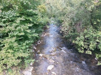
![Randonnée A pied Bärnbach - Wanderweg 1](https://media.geolcdn.com/t/350/260/3ba2ffbd-19b3-43f2-9fcb-7d009c07ac25.jpeg&format=jpg&maxdim=2)
![A pied A pied](https://static1.geolcdn.com/sitytour/trail-icons/100.png)
Km
A pied
![](/images/other/stat-length.png)
![](https://static1.geolcdn.com/siteimages/upload/files/1508320355ic_sort_den_pos_24dp.png)
![](https://static1.geolcdn.com/siteimages/upload/files/1508320355ic_sort_den_neg_24dp.png)
![](https://static1.geolcdn.com/siteimages/upload/files/16400158638029165_repeat_loop_refresh_sync_direction_icon.png)
• Randonnée créée par Naturfreunde Bärnbach. Symbole: weiss-gruen
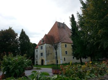
![Randonnée A pied Bärnbach - Wanderweg 5](https://media.geolcdn.com/t/350/260/efbf577a-b7a2-4628-bf5e-388494a4c653.jpeg&format=jpg&maxdim=2)
![A pied A pied](https://static1.geolcdn.com/sitytour/trail-icons/100.png)
Km
A pied
![](/images/other/stat-length.png)
![](https://static1.geolcdn.com/siteimages/upload/files/1508320355ic_sort_den_pos_24dp.png)
![](https://static1.geolcdn.com/siteimages/upload/files/1508320355ic_sort_den_neg_24dp.png)
![](https://static1.geolcdn.com/siteimages/upload/files/16400158638029165_repeat_loop_refresh_sync_direction_icon.png)
• Randonnée créée par Naturfreunde Bärnbach. Symbole: weiss-gruen
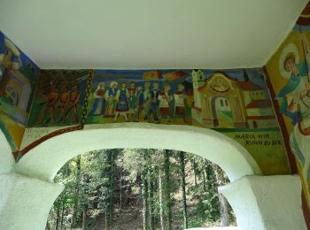
![Randonnée A pied Kainach bei Voitsberg - Wanderweg 64 - Photo](https://media.geolcdn.com/t/350/260/54858ec0-7362-4664-8828-cf65d5bebc26.jpeg&format=jpg&maxdim=2)
![A pied A pied](https://static1.geolcdn.com/sitytour/trail-icons/100.png)
Km
A pied
![](/images/other/stat-length.png)
![](https://static1.geolcdn.com/siteimages/upload/files/1508320355ic_sort_den_pos_24dp.png)
![](https://static1.geolcdn.com/siteimages/upload/files/1508320355ic_sort_den_neg_24dp.png)
![](https://static1.geolcdn.com/siteimages/upload/files/16400158638029165_repeat_loop_refresh_sync_direction_icon.png)
• Randonnée créée par OEAV Sektion Voitsberg.
![Randonnée A pied Maria Lankowitz - Wanderweg L2 - Photo](https://media.geolcdn.com/t/350/260/85706fca-1604-4776-a65a-64a60ca24d8f.jpeg&format=jpg&maxdim=2)
![A pied A pied](https://static1.geolcdn.com/sitytour/trail-icons/100.png)
Km
A pied
![](/images/other/stat-length.png)
![](https://static1.geolcdn.com/siteimages/upload/files/1508320355ic_sort_den_pos_24dp.png)
![](https://static1.geolcdn.com/siteimages/upload/files/1508320355ic_sort_den_neg_24dp.png)
![](https://static1.geolcdn.com/siteimages/upload/files/16400158638029165_repeat_loop_refresh_sync_direction_icon.png)
• Symbole: rot-weiss-rot L2
![Randonnée A pied Maria Lankowitz - Wanderweg 98 - Photo](https://media.geolcdn.com/t/350/260/85706fca-1604-4776-a65a-64a60ca24d8f.jpeg&format=jpg&maxdim=2)
![A pied A pied](https://static1.geolcdn.com/sitytour/trail-icons/100.png)
Km
A pied
![](/images/other/stat-length.png)
![](https://static1.geolcdn.com/siteimages/upload/files/1508320355ic_sort_den_pos_24dp.png)
![](https://static1.geolcdn.com/siteimages/upload/files/1508320355ic_sort_den_neg_24dp.png)
![](https://static1.geolcdn.com/siteimages/upload/files/16400158638029165_repeat_loop_refresh_sync_direction_icon.png)
• Symbole: rot-weiss-rot 98
![Randonnée A pied Voitsberg - Wanderweg 85 - Photo](https://media.geolcdn.com/t/350/260/8feb09c4-acd2-4be0-beac-bfe65fb1d2b9.jpeg&format=jpg&maxdim=2)
![A pied A pied](https://static1.geolcdn.com/sitytour/trail-icons/100.png)
Km
A pied
![](/images/other/stat-length.png)
![](https://static1.geolcdn.com/siteimages/upload/files/1508320355ic_sort_den_pos_24dp.png)
![](https://static1.geolcdn.com/siteimages/upload/files/1508320355ic_sort_den_neg_24dp.png)
![](https://static1.geolcdn.com/siteimages/upload/files/16400158638029165_repeat_loop_refresh_sync_direction_icon.png)
• Randonnée créée par Naturfreunde Voitsberg. Symbole: rot-weiss-rot 85
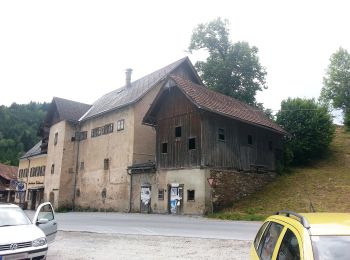
![Randonnée A pied Geistthal-Södingberg - Wanderweg 74 - Photo](https://media.geolcdn.com/t/350/260/66fd7cdd-21cd-42ec-8f32-dd45f40eee96.jpeg&format=jpg&maxdim=2)
![A pied A pied](https://static1.geolcdn.com/sitytour/trail-icons/100.png)
Km
A pied
![](/images/other/stat-length.png)
![](https://static1.geolcdn.com/siteimages/upload/files/1508320355ic_sort_den_pos_24dp.png)
![](https://static1.geolcdn.com/siteimages/upload/files/1508320355ic_sort_den_neg_24dp.png)
![](https://static1.geolcdn.com/siteimages/upload/files/16400158638029165_repeat_loop_refresh_sync_direction_icon.png)
• Randonnée créée par OEAV Sektion Voitsberg.
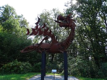
![Randonnée A pied Voitsberg - Wanderweg 83 - Photo](https://media.geolcdn.com/t/350/260/cfafd3ba-d308-4410-a74e-d289303b0c87.jpeg&format=jpg&maxdim=2)
![A pied A pied](https://static1.geolcdn.com/sitytour/trail-icons/100.png)
Km
A pied
![](/images/other/stat-length.png)
![](https://static1.geolcdn.com/siteimages/upload/files/1508320355ic_sort_den_pos_24dp.png)
![](https://static1.geolcdn.com/siteimages/upload/files/1508320355ic_sort_den_neg_24dp.png)
![](https://static1.geolcdn.com/siteimages/upload/files/16400158638029165_repeat_loop_refresh_sync_direction_icon.png)
• Randonnée créée par Naturfreunde Köflach, ÖAV Voitsberg. http://wiki.openstreetmap.org/index.php?title=WikiProject_A...
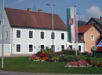
![Randonnée A pied Köflach - Wanderweg 92 - Photo](https://media.geolcdn.com/t/350/260/f6f8fe3c-c10c-4e64-90d8-b22b97a26c5c.jpeg&format=jpg&maxdim=2)
![A pied A pied](https://static1.geolcdn.com/sitytour/trail-icons/100.png)
Km
A pied
![](/images/other/stat-length.png)
![](https://static1.geolcdn.com/siteimages/upload/files/1508320355ic_sort_den_pos_24dp.png)
![](https://static1.geolcdn.com/siteimages/upload/files/1508320355ic_sort_den_neg_24dp.png)
![](https://static1.geolcdn.com/siteimages/upload/files/16400158638029165_repeat_loop_refresh_sync_direction_icon.png)
• Randonnée créée par Naturfreunde Köflach. http://wiki.openstreetmap.org/index.php?title=WikiProject_Austria/Wanderwe...
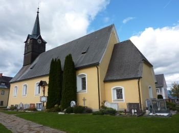
![Randonnée A pied St. Martin am Wöllmißberg - Wanderweg 11 - Photo](https://media.geolcdn.com/t/350/260/b84cdbca-1312-407a-8b97-e6f7d476000f.jpeg&format=jpg&maxdim=2)
![A pied A pied](https://static1.geolcdn.com/sitytour/trail-icons/100.png)
Km
A pied
![](/images/other/stat-length.png)
![](https://static1.geolcdn.com/siteimages/upload/files/1508320355ic_sort_den_pos_24dp.png)
![](https://static1.geolcdn.com/siteimages/upload/files/1508320355ic_sort_den_neg_24dp.png)
![](https://static1.geolcdn.com/siteimages/upload/files/16400158638029165_repeat_loop_refresh_sync_direction_icon.png)
• Randonnée créée par ???. http://wiki.openstreetmap.org/index.php?title=WikiProject_Austria/Wanderwege Symbole: rot-...
![Randonnée A pied Ligist - Wanderweg 17 - Photo](https://media.geolcdn.com/t/350/260/53ab6b45-7613-4f27-9e28-2b4bfd0c4b28.jpeg&format=jpg&maxdim=2)
![A pied A pied](https://static1.geolcdn.com/sitytour/trail-icons/100.png)
Km
A pied
![](/images/other/stat-length.png)
![](https://static1.geolcdn.com/siteimages/upload/files/1508320355ic_sort_den_pos_24dp.png)
![](https://static1.geolcdn.com/siteimages/upload/files/1508320355ic_sort_den_neg_24dp.png)
![](https://static1.geolcdn.com/siteimages/upload/files/16400158638029165_repeat_loop_refresh_sync_direction_icon.png)
• http://wiki.openstreetmap.org/wiki/WikiProject_Austria/Wanderwege Symbole: rot-weiss-rot 17
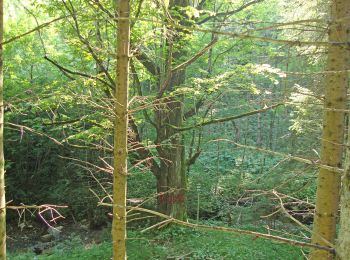
![Randonnée A pied Kainach bei Voitsberg - Wanderweg 61 - Photo](https://media.geolcdn.com/t/350/260/b3780d44-bfa7-458b-b70f-f10f46921b07.jpeg&format=jpg&maxdim=2)
![A pied A pied](https://static1.geolcdn.com/sitytour/trail-icons/100.png)
Km
A pied
![](/images/other/stat-length.png)
![](https://static1.geolcdn.com/siteimages/upload/files/1508320355ic_sort_den_pos_24dp.png)
![](https://static1.geolcdn.com/siteimages/upload/files/1508320355ic_sort_den_neg_24dp.png)
![](https://static1.geolcdn.com/siteimages/upload/files/16400158638029165_repeat_loop_refresh_sync_direction_icon.png)
• Randonnée créée par AV Voitsberg. Symbole: rot-weiss-rot 61
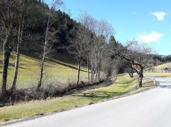
![Randonnée A pied Kainach bei Voitsberg - Wanderweg 60 - Photo](https://media.geolcdn.com/t/350/260/2057d407-d8d7-4651-8b03-d2bffc3f0e87.jpeg&format=jpg&maxdim=2)
![A pied A pied](https://static1.geolcdn.com/sitytour/trail-icons/100.png)
Km
A pied
![](/images/other/stat-length.png)
![](https://static1.geolcdn.com/siteimages/upload/files/1508320355ic_sort_den_pos_24dp.png)
![](https://static1.geolcdn.com/siteimages/upload/files/1508320355ic_sort_den_neg_24dp.png)
![](https://static1.geolcdn.com/siteimages/upload/files/16400158638029165_repeat_loop_refresh_sync_direction_icon.png)
• Randonnée créée par AV Voitsberg. Symbole: rot-weiss-rot 60
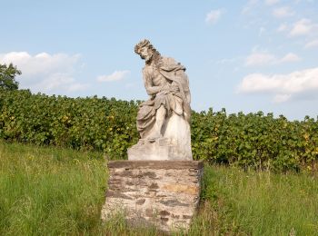
![Randonnée A pied Söding-St. Johann - Stallhofner Rundweg - Photo](https://media.geolcdn.com/t/350/260/cbafac44-4bde-42b0-86ca-9dc0413e277d.jpeg&format=jpg&maxdim=2)
![A pied A pied](https://static1.geolcdn.com/sitytour/trail-icons/100.png)
Km
A pied
![](/images/other/stat-length.png)
![](https://static1.geolcdn.com/siteimages/upload/files/1508320355ic_sort_den_pos_24dp.png)
![](https://static1.geolcdn.com/siteimages/upload/files/1508320355ic_sort_den_neg_24dp.png)
![](https://static1.geolcdn.com/siteimages/upload/files/16400158638029165_repeat_loop_refresh_sync_direction_icon.png)
• Randonnée créée par ÖAV Stallhofen. Symbole: rot-weiss-rot STRW
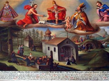
![Randonnée A pied Kainach bei Voitsberg - Wanderweg 75 - Photo](https://media.geolcdn.com/t/350/260/9b6a25ad-8e27-41a9-86a0-8afbcdcbb37e.jpeg&format=jpg&maxdim=2)
![A pied A pied](https://static1.geolcdn.com/sitytour/trail-icons/100.png)
Km
A pied
![](/images/other/stat-length.png)
![](https://static1.geolcdn.com/siteimages/upload/files/1508320355ic_sort_den_pos_24dp.png)
![](https://static1.geolcdn.com/siteimages/upload/files/1508320355ic_sort_den_neg_24dp.png)
![](https://static1.geolcdn.com/siteimages/upload/files/16400158638029165_repeat_loop_refresh_sync_direction_icon.png)
• Randonnée créée par ÖAV Sektion Voitsberg.
20 randonnées affichées sur 51
Application GPS de randonnée GRATUITE