![](/images/other/stat-length.png)
- Randonnées
- A pied
- Autriche
- Styrie
- Graz
- Inconnu
Inconnu, Graz, A pied : Les meilleures randonnées, itinéraires, parcours, balades et promenades
Inconnu : découvrez les meilleures randonnées : 16 a pied. Tous ces circuits, parcours, itinéraires et activités en plein air sont disponibles dans nos applications SityTrail pour smartphones et tablettes.
Les meilleurs parcours (16)
![Randonnée A pied Inconnu - Wanderweg 6 - Photo](https://media.geolcdn.com/t/350/260/ef4bff11-ad71-42b5-a210-0da5eab0a04b.jpeg&format=jpg&maxdim=2)
![A pied A pied](https://static1.geolcdn.com/sitytour/trail-icons/100.png)
Km
A pied
![](/images/other/stat-length.png)
![](https://static1.geolcdn.com/siteimages/upload/files/1508320355ic_sort_den_pos_24dp.png)
![](https://static1.geolcdn.com/siteimages/upload/files/1508320355ic_sort_den_neg_24dp.png)
![](https://static1.geolcdn.com/siteimages/upload/files/16400158638029165_repeat_loop_refresh_sync_direction_icon.png)
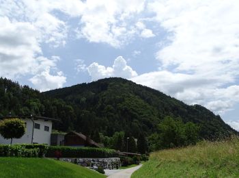
• Randonnée créée par ÖAV Graz. http://wiki.openstreetmap.org/wiki/WikiProject_Austria/Wanderwege Symbole: rot-weiss-...
![Randonnée A pied Inconnu - Wanderweg 6 - Photo](https://media.geolcdn.com/t/350/260/aa82f8e8-3846-4909-bc5a-24fadefa549b.jpeg&format=jpg&maxdim=2)
![A pied A pied](https://static1.geolcdn.com/sitytour/trail-icons/100.png)
Km
A pied
![](/images/other/stat-length.png)
![](https://static1.geolcdn.com/siteimages/upload/files/1508320355ic_sort_den_pos_24dp.png)
![](https://static1.geolcdn.com/siteimages/upload/files/1508320355ic_sort_den_neg_24dp.png)
![](https://static1.geolcdn.com/siteimages/upload/files/16400158638029165_repeat_loop_refresh_sync_direction_icon.png)
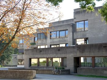
• Randonnée créée par ÖAV Sektion Graz. Symbole: rot-weiss-rot 6
![Randonnée A pied Inconnu - Wanderweg 5 - Photo](https://media.geolcdn.com/t/350/260/aa82f8e8-3846-4909-bc5a-24fadefa549b.jpeg&format=jpg&maxdim=2)
![A pied A pied](https://static1.geolcdn.com/sitytour/trail-icons/100.png)
Km
A pied
![](/images/other/stat-length.png)
![](https://static1.geolcdn.com/siteimages/upload/files/1508320355ic_sort_den_pos_24dp.png)
![](https://static1.geolcdn.com/siteimages/upload/files/1508320355ic_sort_den_neg_24dp.png)
![](https://static1.geolcdn.com/siteimages/upload/files/16400158638029165_repeat_loop_refresh_sync_direction_icon.png)
• Randonnée créée par ÖAV Graz. http://wiki.openstreetmap.org/wiki/WikiProject_Austria/Wanderwege Symbole: rot-weiss-...
![Randonnée A pied Inconnu - Wanderweg 31 - Photo](https://media.geolcdn.com/t/350/260/6f0ca973-7c54-478e-aafe-21a3502c3ec8.jpeg&format=jpg&maxdim=2)
![A pied A pied](https://static1.geolcdn.com/sitytour/trail-icons/100.png)
Km
A pied
![](/images/other/stat-length.png)
![](https://static1.geolcdn.com/siteimages/upload/files/1508320355ic_sort_den_pos_24dp.png)
![](https://static1.geolcdn.com/siteimages/upload/files/1508320355ic_sort_den_neg_24dp.png)
![](https://static1.geolcdn.com/siteimages/upload/files/16400158638029165_repeat_loop_refresh_sync_direction_icon.png)
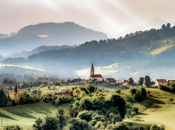
• Randonnée créée par ÖTK Graz. http://wiki.openstreetmap.org/wiki/WikiProject_Austria/Wanderwege Symbole: rot-weiss-...
![Randonnée A pied Inconnu - Wanderweg 85a - Photo](https://media.geolcdn.com/t/350/260/7565fbd9-0187-4b54-b282-25afaef0c024.jpeg&format=jpg&maxdim=2)
![A pied A pied](https://static1.geolcdn.com/sitytour/trail-icons/100.png)
Km
A pied
![](/images/other/stat-length.png)
![](https://static1.geolcdn.com/siteimages/upload/files/1508320355ic_sort_den_pos_24dp.png)
![](https://static1.geolcdn.com/siteimages/upload/files/1508320355ic_sort_den_neg_24dp.png)
![](https://static1.geolcdn.com/siteimages/upload/files/16400158638029165_repeat_loop_refresh_sync_direction_icon.png)
• Randonnée créée par ÖAV Graz. http://wiki.openstreetmap.org/wiki/WikiProject_Austria/Wanderwege Symbole: rot-weiss-...
![Randonnée A pied Inconnu - Wanderweg 5 - Photo](https://media.geolcdn.com/t/350/260/0f090025-5e43-4bc7-952b-186de3ca82e0.jpeg&format=jpg&maxdim=2)
![A pied A pied](https://static1.geolcdn.com/sitytour/trail-icons/100.png)
Km
A pied
![](/images/other/stat-length.png)
![](https://static1.geolcdn.com/siteimages/upload/files/1508320355ic_sort_den_pos_24dp.png)
![](https://static1.geolcdn.com/siteimages/upload/files/1508320355ic_sort_den_neg_24dp.png)
![](https://static1.geolcdn.com/siteimages/upload/files/16400158638029165_repeat_loop_refresh_sync_direction_icon.png)
• Randonnée créée par ÖAV Graz. http://wiki.openstreetmap.org/wiki/WikiProject_Austria/Wanderwege Symbole: rot-weiss-...
![Randonnée A pied Inconnu - Wanderweg 4 - Photo](https://media.geolcdn.com/t/350/260/f72670ad-9578-414d-87ce-6250ecd47ea8.jpeg&format=jpg&maxdim=2)
![A pied A pied](https://static1.geolcdn.com/sitytour/trail-icons/100.png)
Km
A pied
![](/images/other/stat-length.png)
![](https://static1.geolcdn.com/siteimages/upload/files/1508320355ic_sort_den_pos_24dp.png)
![](https://static1.geolcdn.com/siteimages/upload/files/1508320355ic_sort_den_neg_24dp.png)
![](https://static1.geolcdn.com/siteimages/upload/files/16400158638029165_repeat_loop_refresh_sync_direction_icon.png)
• Randonnée créée par ÖAV Graz. http://wiki.openstreetmap.org/wiki/WikiProject_Austria/Wanderwege Symbole: rot-weiss-...
![Randonnée A pied Inconnu - Wanderweg 10 - Photo](https://media.geolcdn.com/t/350/260/2b9ddd0c-abce-4077-ae0b-0ca226a8ce92.jpeg&format=jpg&maxdim=2)
![A pied A pied](https://static1.geolcdn.com/sitytour/trail-icons/100.png)
Km
A pied
![](/images/other/stat-length.png)
![](https://static1.geolcdn.com/siteimages/upload/files/1508320355ic_sort_den_pos_24dp.png)
![](https://static1.geolcdn.com/siteimages/upload/files/1508320355ic_sort_den_neg_24dp.png)
![](https://static1.geolcdn.com/siteimages/upload/files/16400158638029165_repeat_loop_refresh_sync_direction_icon.png)
• Randonnée créée par ÖAV Graz. http://wiki.openstreetmap.org/wiki/WikiProject_Austria/Wanderwege Symbole: rot-weiss-...
![Randonnée A pied Inconnu - Wanderweg 2b - Photo](https://media.geolcdn.com/t/350/260/6fd5a566-fbef-486d-aa83-d4e4a394135c.jpeg&format=jpg&maxdim=2)
![A pied A pied](https://static1.geolcdn.com/sitytour/trail-icons/100.png)
Km
A pied
![](/images/other/stat-length.png)
![](https://static1.geolcdn.com/siteimages/upload/files/1508320355ic_sort_den_pos_24dp.png)
![](https://static1.geolcdn.com/siteimages/upload/files/1508320355ic_sort_den_neg_24dp.png)
![](https://static1.geolcdn.com/siteimages/upload/files/16400158638029165_repeat_loop_refresh_sync_direction_icon.png)
• Randonnée créée par ÖAV Sektion Graz. http://wiki.openstreetmap.org/wiki/WikiProject_Austria/Wanderwege Symbole: ro...
![Randonnée A pied Inconnu - Wanderweg 9 - Photo](https://media.geolcdn.com/t/350/260/f4e1774d-86ca-4c70-b6e6-95a6e5a54ab8.jpeg&format=jpg&maxdim=2)
![A pied A pied](https://static1.geolcdn.com/sitytour/trail-icons/100.png)
Km
A pied
![](/images/other/stat-length.png)
![](https://static1.geolcdn.com/siteimages/upload/files/1508320355ic_sort_den_pos_24dp.png)
![](https://static1.geolcdn.com/siteimages/upload/files/1508320355ic_sort_den_neg_24dp.png)
![](https://static1.geolcdn.com/siteimages/upload/files/16400158638029165_repeat_loop_refresh_sync_direction_icon.png)
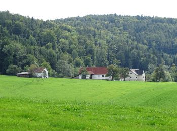
• Randonnée créée par ÖAV Sektion Graz. http://wiki.openstreetmap.org/wiki/WikiProject_Austria/Wanderwege Symbole: ro...
![Randonnée A pied Inconnu - Wanderweg 7 - Photo](https://media.geolcdn.com/t/350/260/44711ef5-e531-4fdf-8215-140bfab6652d.jpeg&format=jpg&maxdim=2)
![A pied A pied](https://static1.geolcdn.com/sitytour/trail-icons/100.png)
Km
A pied
![](/images/other/stat-length.png)
![](https://static1.geolcdn.com/siteimages/upload/files/1508320355ic_sort_den_pos_24dp.png)
![](https://static1.geolcdn.com/siteimages/upload/files/1508320355ic_sort_den_neg_24dp.png)
![](https://static1.geolcdn.com/siteimages/upload/files/16400158638029165_repeat_loop_refresh_sync_direction_icon.png)
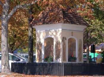
• Randonnée créée par ÖAV Sektion Graz. http://wiki.openstreetmap.org/wiki/WikiProject_Austria/Wanderwege Symbole: ro...
![Randonnée A pied Inconnu - Wanderweg 10 - Photo](https://media.geolcdn.com/t/350/260/efaf26d0-4521-4ddc-a9aa-c8d87c2c9f6b.jpeg&format=jpg&maxdim=2)
![A pied A pied](https://static1.geolcdn.com/sitytour/trail-icons/100.png)
Km
A pied
![](/images/other/stat-length.png)
![](https://static1.geolcdn.com/siteimages/upload/files/1508320355ic_sort_den_pos_24dp.png)
![](https://static1.geolcdn.com/siteimages/upload/files/1508320355ic_sort_den_neg_24dp.png)
![](https://static1.geolcdn.com/siteimages/upload/files/16400158638029165_repeat_loop_refresh_sync_direction_icon.png)
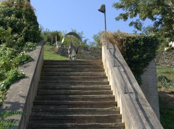
• Randonnée créée par ÖAV Sektion Graz. http://wiki.openstreetmap.org/wiki/WikiProject_Austria/Wanderwege Symbole: ro...
![Randonnée A pied Inconnu - Wanderweg 11 - Photo](https://media.geolcdn.com/t/350/260/8ea6f906-c72b-467c-a50a-afa8c330f859.jpeg&format=jpg&maxdim=2)
![A pied A pied](https://static1.geolcdn.com/sitytour/trail-icons/100.png)
Km
A pied
![](/images/other/stat-length.png)
![](https://static1.geolcdn.com/siteimages/upload/files/1508320355ic_sort_den_pos_24dp.png)
![](https://static1.geolcdn.com/siteimages/upload/files/1508320355ic_sort_den_neg_24dp.png)
![](https://static1.geolcdn.com/siteimages/upload/files/16400158638029165_repeat_loop_refresh_sync_direction_icon.png)
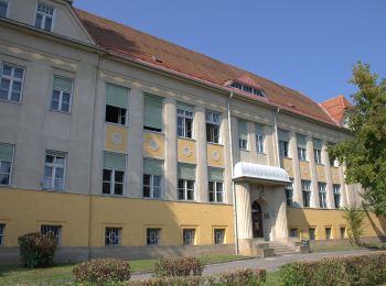
• Randonnée créée par ÖAV Sektion Graz. http://wiki.openstreetmap.org/wiki/WikiProject_Austria/Wanderwege Symbole: ro...
![Randonnée A pied Inconnu - Wanderweg 85 - Photo](https://media.geolcdn.com/t/350/260/ceb76f37-f7f2-4c63-8e64-2993e6699182.jpeg&format=jpg&maxdim=2)
![A pied A pied](https://static1.geolcdn.com/sitytour/trail-icons/100.png)
Km
A pied
![](/images/other/stat-length.png)
![](https://static1.geolcdn.com/siteimages/upload/files/1508320355ic_sort_den_pos_24dp.png)
![](https://static1.geolcdn.com/siteimages/upload/files/1508320355ic_sort_den_neg_24dp.png)
![](https://static1.geolcdn.com/siteimages/upload/files/16400158638029165_repeat_loop_refresh_sync_direction_icon.png)
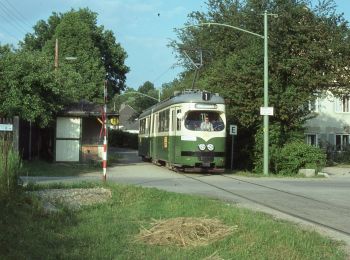
• Randonnée créée par Österreichischer Alpenverein, Sektion Graz. http://wiki.openstreetmap.org/wiki/WikiProject_Austr...
![Randonnée A pied Inconnu - Wanderweg 2, Kernstockweg - Photo](https://media.geolcdn.com/t/350/260/c81e4a21-93a2-44d9-bd11-0048ace0963b.jpeg&format=jpg&maxdim=2)
![A pied A pied](https://static1.geolcdn.com/sitytour/trail-icons/100.png)
Km
A pied
![](/images/other/stat-length.png)
![](https://static1.geolcdn.com/siteimages/upload/files/1508320355ic_sort_den_pos_24dp.png)
![](https://static1.geolcdn.com/siteimages/upload/files/1508320355ic_sort_den_neg_24dp.png)
![](https://static1.geolcdn.com/siteimages/upload/files/16400158638029165_repeat_loop_refresh_sync_direction_icon.png)
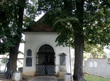
• http://wiki.openstreetmap.org/wiki/WikiProject_Austria/Wanderwege Symbole: rot-weiss-rot mit schwarzer Zahl 2 im wei...
![Randonnée A pied Inconnu - Wanderweg 80 - Photo](https://media.geolcdn.com/t/350/260/1162451f-37a2-49c1-ad04-5b377cccdc25.jpeg&format=jpg&maxdim=2)
![A pied A pied](https://static1.geolcdn.com/sitytour/trail-icons/100.png)
Km
A pied
![](/images/other/stat-length.png)
![](https://static1.geolcdn.com/siteimages/upload/files/1508320355ic_sort_den_pos_24dp.png)
![](https://static1.geolcdn.com/siteimages/upload/files/1508320355ic_sort_den_neg_24dp.png)
![](https://static1.geolcdn.com/siteimages/upload/files/16400158638029165_repeat_loop_refresh_sync_direction_icon.png)
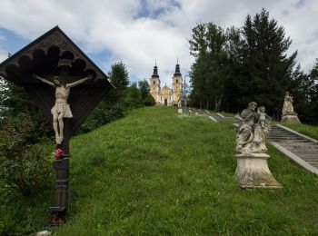
• Randonnée créée par Steirischer Alpenverein, Sektion Graz. http://wiki.openstreetmap.org/wiki/WikiProject_Austria/Wa...
16 randonnées affichées sur 16
Application GPS de randonnée GRATUITE