![](/images/other/stat-length.png)
- Randonnées
- A pied
- Autriche
- Basse-Autriche
- Bezirk Neunkirchen
- Gemeinde Schottwien
Gemeinde Schottwien, Bezirk Neunkirchen, A pied : Les meilleures randonnées, itinéraires, parcours, balades et promenades
Gemeinde Schottwien : découvrez les meilleures randonnées : 6 a pied. Tous ces circuits, parcours, itinéraires et activités en plein air sont disponibles dans nos applications SityTrail pour smartphones et tablettes.
Les meilleurs parcours (6)
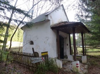
![Randonnée A pied Gemeinde Schottwien - Rundwanderweg - Photo](https://media.geolcdn.com/t/350/260/db4fa6e5-ce96-4cdc-8273-42b6f040655b.jpeg&format=jpg&maxdim=2)
![A pied A pied](https://static1.geolcdn.com/sitytour/trail-icons/100.png)
Km
A pied
![](/images/other/stat-length.png)
![](https://static1.geolcdn.com/siteimages/upload/files/1508320355ic_sort_den_pos_24dp.png)
![](https://static1.geolcdn.com/siteimages/upload/files/1508320355ic_sort_den_neg_24dp.png)
![](https://static1.geolcdn.com/siteimages/upload/files/16400158638029165_repeat_loop_refresh_sync_direction_icon.png)
• Randonnée créée par ?. http://wiki.openstreetmap.org/wiki/WikiProject_Austria/Wanderwege Symbole: Schilder
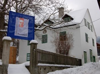
![Randonnée A pied Gemeinde Schottwien - Schottwien - Göstritz - Kummerbauerstadl - Trattenbach - Photo](https://media.geolcdn.com/t/350/260/78c18124-c237-4caf-bedf-598cb716e9c0.jpeg&format=jpg&maxdim=2)
![A pied A pied](https://static1.geolcdn.com/sitytour/trail-icons/100.png)
Km
A pied
![](/images/other/stat-length.png)
![](https://static1.geolcdn.com/siteimages/upload/files/1508320355ic_sort_den_pos_24dp.png)
![](https://static1.geolcdn.com/siteimages/upload/files/1508320355ic_sort_den_neg_24dp.png)
![](https://static1.geolcdn.com/siteimages/upload/files/16400158638029165_repeat_loop_refresh_sync_direction_icon.png)
• Randonnée créée par Österreichischer Touristenklub. Symbole: blauer, waagrechter Balken
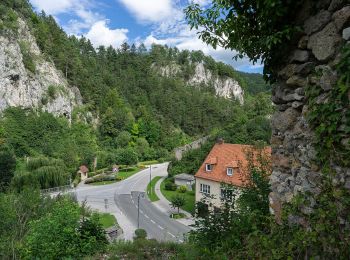
![Randonnée A pied Gemeinde Schottwien - Schottwien - Eselstein - Photo](https://media.geolcdn.com/t/350/260/79535f5b-e684-43b6-bc11-061352aa5999.jpeg&format=jpg&maxdim=2)
![A pied A pied](https://static1.geolcdn.com/sitytour/trail-icons/100.png)
Km
A pied
![](/images/other/stat-length.png)
![](https://static1.geolcdn.com/siteimages/upload/files/1508320355ic_sort_den_pos_24dp.png)
![](https://static1.geolcdn.com/siteimages/upload/files/1508320355ic_sort_den_neg_24dp.png)
![](https://static1.geolcdn.com/siteimages/upload/files/16400158638029165_repeat_loop_refresh_sync_direction_icon.png)
• Symbole: gelber, waagerechter Balken
![Randonnée A pied Gemeinde Schottwien - Maria Schutz - Gebirgsjägersteig - Sonnwendstein - Photo](https://media.geolcdn.com/t/350/260/4206c933-9d19-4267-9fd5-63165effda5e.jpeg&format=jpg&maxdim=2)
![A pied A pied](https://static1.geolcdn.com/sitytour/trail-icons/100.png)
Km
A pied
![](/images/other/stat-length.png)
![](https://static1.geolcdn.com/siteimages/upload/files/1508320355ic_sort_den_pos_24dp.png)
![](https://static1.geolcdn.com/siteimages/upload/files/1508320355ic_sort_den_neg_24dp.png)
![](https://static1.geolcdn.com/siteimages/upload/files/16400158638029165_repeat_loop_refresh_sync_direction_icon.png)
• Markierung meist gerade ohne weißen Punkt /fkv Symbole: grün mit weißem Punkt
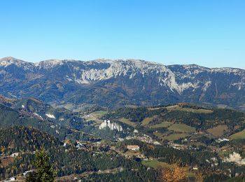
![Randonnée A pied Gemeinde Schottwien - Gipfelrunde - Photo](https://media.geolcdn.com/t/350/260/31731089-e750-46a2-93a6-3e3bd3c00726.jpeg&format=jpg&maxdim=2)
![A pied A pied](https://static1.geolcdn.com/sitytour/trail-icons/100.png)
Km
A pied
![](/images/other/stat-length.png)
![](https://static1.geolcdn.com/siteimages/upload/files/1508320355ic_sort_den_pos_24dp.png)
![](https://static1.geolcdn.com/siteimages/upload/files/1508320355ic_sort_den_neg_24dp.png)
![](https://static1.geolcdn.com/siteimages/upload/files/16400158638029165_repeat_loop_refresh_sync_direction_icon.png)
![Randonnée A pied Gemeinde Schottwien - Greis - Almsteig - Sonnwendstein - Photo](https://media.geolcdn.com/t/350/260/43e045bd-7d65-4b1f-aa08-8d76f4a219a7.jpeg&format=jpg&maxdim=2)
![A pied A pied](https://static1.geolcdn.com/sitytour/trail-icons/100.png)
Km
A pied
![](/images/other/stat-length.png)
![](https://static1.geolcdn.com/siteimages/upload/files/1508320355ic_sort_den_pos_24dp.png)
![](https://static1.geolcdn.com/siteimages/upload/files/1508320355ic_sort_den_neg_24dp.png)
![](https://static1.geolcdn.com/siteimages/upload/files/16400158638029165_repeat_loop_refresh_sync_direction_icon.png)
• Randonnée créée par Österreichischer Touristenklub. Symbole: blauer, waagrechter Balken
6 randonnées affichées sur 6
Application GPS de randonnée GRATUITE