![](/images/other/stat-length.png)
- Randonnées
- A pied
- Autriche
- Basse-Autriche
- Bezirk Neunkirchen
- Gemeinde Breitenstein
Gemeinde Breitenstein, Bezirk Neunkirchen, A pied : Les meilleures randonnées, itinéraires, parcours, balades et promenades
Gemeinde Breitenstein : découvrez les meilleures randonnées : 6 a pied. Tous ces circuits, parcours, itinéraires et activités en plein air sont disponibles dans nos applications SityTrail pour smartphones et tablettes.
Les meilleurs parcours (6)
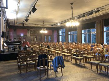
![Randonnée A pied Gemeinde Breitenstein - Talhof - Semmering - Photo](https://media.geolcdn.com/t/350/260/1985eb2a-fc53-4d34-bbf9-d20f75c68b19.jpeg&format=jpg&maxdim=2)
![A pied A pied](https://static1.geolcdn.com/sitytour/trail-icons/100.png)
Km
A pied
![](/images/other/stat-length.png)
![](https://static1.geolcdn.com/siteimages/upload/files/1508320355ic_sort_den_pos_24dp.png)
![](https://static1.geolcdn.com/siteimages/upload/files/1508320355ic_sort_den_neg_24dp.png)
![](https://static1.geolcdn.com/siteimages/upload/files/16400158638029165_repeat_loop_refresh_sync_direction_icon.png)
• Randonnée créée par Österreichischer Touristenklub. Symbole: roter, waagrechter Balken
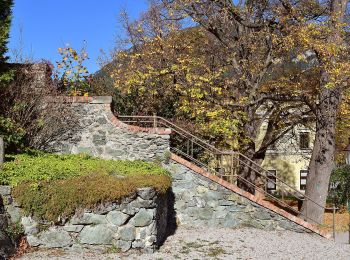
![Randonnée A pied Gemeinde Breitenstein - Payerbach - Sommerhöhe - Breitenstein - Photo](https://media.geolcdn.com/t/350/260/8a6373ac-1ad9-4169-a7b0-aac7ea3d5304.jpeg&format=jpg&maxdim=2)
![A pied A pied](https://static1.geolcdn.com/sitytour/trail-icons/100.png)
Km
A pied
![](/images/other/stat-length.png)
![](https://static1.geolcdn.com/siteimages/upload/files/1508320355ic_sort_den_pos_24dp.png)
![](https://static1.geolcdn.com/siteimages/upload/files/1508320355ic_sort_den_neg_24dp.png)
![](https://static1.geolcdn.com/siteimages/upload/files/16400158638029165_repeat_loop_refresh_sync_direction_icon.png)
• Der ÖTK gilt als Pionier des Fremdenverkehrs. Heute ist der ÖTK mit über 360 Kursen und geführten Touren in 50 Freize...
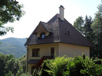
![Randonnée A pied Gemeinde Breitenstein - Breitenstein - Klamm - Photo](https://media.geolcdn.com/t/350/260/1b6a353c-bb47-467a-9446-75a99f9587b9.jpeg&format=jpg&maxdim=2)
![A pied A pied](https://static1.geolcdn.com/sitytour/trail-icons/100.png)
Km
A pied
![](/images/other/stat-length.png)
![](https://static1.geolcdn.com/siteimages/upload/files/1508320355ic_sort_den_pos_24dp.png)
![](https://static1.geolcdn.com/siteimages/upload/files/1508320355ic_sort_den_neg_24dp.png)
![](https://static1.geolcdn.com/siteimages/upload/files/16400158638029165_repeat_loop_refresh_sync_direction_icon.png)
• Randonnée créée par Österreichischer Touristenklub. Symbole: grüner, waagrechter Balken
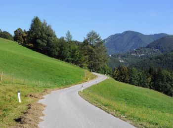
![Randonnée A pied Gemeinde Breitenstein - Reichenau - Langen Rain - Hoffstatt - Speckbacherhütte - Photo](https://media.geolcdn.com/t/350/260/b6bd5bec-e911-4be7-8b67-602fbbac468b.jpeg&format=jpg&maxdim=2)
![A pied A pied](https://static1.geolcdn.com/sitytour/trail-icons/100.png)
Km
A pied
![](/images/other/stat-length.png)
![](https://static1.geolcdn.com/siteimages/upload/files/1508320355ic_sort_den_pos_24dp.png)
![](https://static1.geolcdn.com/siteimages/upload/files/1508320355ic_sort_den_neg_24dp.png)
![](https://static1.geolcdn.com/siteimages/upload/files/16400158638029165_repeat_loop_refresh_sync_direction_icon.png)
• Randonnée créée par Österreichischer Alpenverein Sektion Reichenau. Symbole: grüner, waagrechter Balken
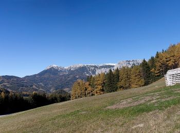
![Randonnée A pied Gemeinde Breitenstein - Orthof - Falkensteinhöhle - Adlitzgraben - Photo](https://media.geolcdn.com/t/350/260/a6970b66-99ef-4bbd-b93c-63215ad95705.jpeg&format=jpg&maxdim=2)
![A pied A pied](https://static1.geolcdn.com/sitytour/trail-icons/100.png)
Km
A pied
![](/images/other/stat-length.png)
![](https://static1.geolcdn.com/siteimages/upload/files/1508320355ic_sort_den_pos_24dp.png)
![](https://static1.geolcdn.com/siteimages/upload/files/1508320355ic_sort_den_neg_24dp.png)
![](https://static1.geolcdn.com/siteimages/upload/files/16400158638029165_repeat_loop_refresh_sync_direction_icon.png)
• Randonnée créée par Österreichischer Touristenklub, Sektion Raxgmoa. Symbole: roter, waagrechter Balken
![Randonnée A pied Gemeinde Breitenstein - Orthof - Rotberg - Meierei - Semmering - Breitenstein - Photo](https://media.geolcdn.com/t/350/260/a6970b66-99ef-4bbd-b93c-63215ad95705.jpeg&format=jpg&maxdim=2)
![A pied A pied](https://static1.geolcdn.com/sitytour/trail-icons/100.png)
Km
A pied
![](/images/other/stat-length.png)
![](https://static1.geolcdn.com/siteimages/upload/files/1508320355ic_sort_den_pos_24dp.png)
![](https://static1.geolcdn.com/siteimages/upload/files/1508320355ic_sort_den_neg_24dp.png)
![](https://static1.geolcdn.com/siteimages/upload/files/16400158638029165_repeat_loop_refresh_sync_direction_icon.png)
• Randonnée créée par Österreichischer Touristenklub. Symbole: grüner, waagrechter Balken
6 randonnées affichées sur 6
Application GPS de randonnée GRATUITE