![](/images/other/stat-length.png)
- Randonnées
- A pied
- Autriche
- Basse-Autriche
- Bezirk Mistelbach
Bezirk Mistelbach, Basse-Autriche, A pied : Les meilleures randonnées, itinéraires, parcours, balades et promenades
Bezirk Mistelbach : découvrez les meilleures randonnées : 24 a pied. Tous ces circuits, parcours, itinéraires et activités en plein air sont disponibles dans nos applications SityTrail pour smartphones et tablettes.
Les meilleurs parcours (24)
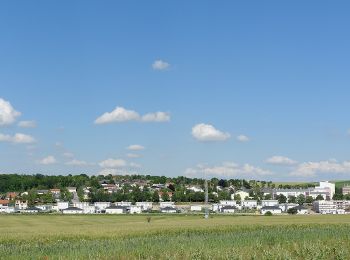
![Randonnée A pied Gemeinde Mistelbach - tutgut-Wanderweg Route 3 - Photo](https://media.geolcdn.com/t/350/260/bce86d3d-8994-4427-b630-7e65fd31d636.jpeg&format=jpg&maxdim=2)
![A pied A pied](https://static1.geolcdn.com/sitytour/trail-icons/100.png)
Km
A pied
![](/images/other/stat-length.png)
![](https://static1.geolcdn.com/siteimages/upload/files/1508320355ic_sort_den_pos_24dp.png)
![](https://static1.geolcdn.com/siteimages/upload/files/1508320355ic_sort_den_neg_24dp.png)
![](https://static1.geolcdn.com/siteimages/upload/files/16400158638029165_repeat_loop_refresh_sync_direction_icon.png)
• Randonnée créée par Stadtgemeinde Mistelbach. Symbole: blauer Punkt, Wegnummer 3
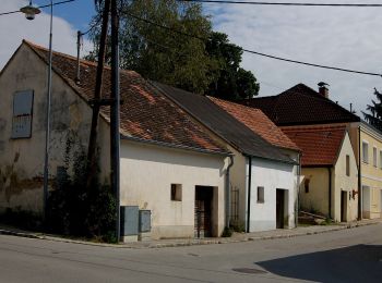
![Randonnée A pied Gemeinde Mistelbach - tutgut-Wanderweg Route 2 - Photo](https://media.geolcdn.com/t/350/260/e798ca31-5c5c-4a3b-9d17-f2546df1c745.jpeg&format=jpg&maxdim=2)
![A pied A pied](https://static1.geolcdn.com/sitytour/trail-icons/100.png)
Km
A pied
![](/images/other/stat-length.png)
![](https://static1.geolcdn.com/siteimages/upload/files/1508320355ic_sort_den_pos_24dp.png)
![](https://static1.geolcdn.com/siteimages/upload/files/1508320355ic_sort_den_neg_24dp.png)
![](https://static1.geolcdn.com/siteimages/upload/files/16400158638029165_repeat_loop_refresh_sync_direction_icon.png)
• Randonnée créée par Stadtgemeinde Mistelbach. Symbole: grüner Punkt, Wegnummer 2
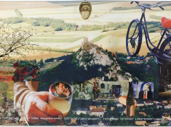
![Randonnée A pied Gemeinde Mistelbach - tutgut-Wanderweg Route 1 - Photo](https://media.geolcdn.com/t/350/260/54036103-4297-409e-b432-2331b843a27f.jpeg&format=jpg&maxdim=2)
![A pied A pied](https://static1.geolcdn.com/sitytour/trail-icons/100.png)
Km
A pied
![](/images/other/stat-length.png)
![](https://static1.geolcdn.com/siteimages/upload/files/1508320355ic_sort_den_pos_24dp.png)
![](https://static1.geolcdn.com/siteimages/upload/files/1508320355ic_sort_den_neg_24dp.png)
![](https://static1.geolcdn.com/siteimages/upload/files/16400158638029165_repeat_loop_refresh_sync_direction_icon.png)
• Randonnée créée par Stadtgemeinde Mistelbach. Symbole: roter Punkt, Wegnummer 1
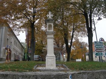
![Randonnée A pied Gemeinde Poysdorf - Hubertusweg - Photo](https://media.geolcdn.com/t/350/260/c6731b16-466d-4af3-97a2-0c77b5b25088.jpeg&format=jpg&maxdim=2)
![A pied A pied](https://static1.geolcdn.com/sitytour/trail-icons/100.png)
Km
A pied
![](/images/other/stat-length.png)
![](https://static1.geolcdn.com/siteimages/upload/files/1508320355ic_sort_den_pos_24dp.png)
![](https://static1.geolcdn.com/siteimages/upload/files/1508320355ic_sort_den_neg_24dp.png)
![](https://static1.geolcdn.com/siteimages/upload/files/16400158638029165_repeat_loop_refresh_sync_direction_icon.png)
• Symbole: 3-teilig, roter Balken auf weißem Grund
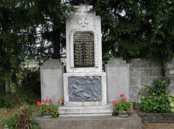
![Randonnée A pied Gemeinde Poysdorf - Kleinhadersdorfer Weg - Photo](https://media.geolcdn.com/t/350/260/eb66ae4d-a935-4195-9f21-fcb7a42cecb1.jpeg&format=jpg&maxdim=2)
![A pied A pied](https://static1.geolcdn.com/sitytour/trail-icons/100.png)
Km
A pied
![](/images/other/stat-length.png)
![](https://static1.geolcdn.com/siteimages/upload/files/1508320355ic_sort_den_pos_24dp.png)
![](https://static1.geolcdn.com/siteimages/upload/files/1508320355ic_sort_den_neg_24dp.png)
![](https://static1.geolcdn.com/siteimages/upload/files/16400158638029165_repeat_loop_refresh_sync_direction_icon.png)
• Symbole: 3-teilig, roter Balken auf weißem Grund
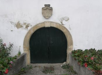
![Randonnée A pied Gemeinde Poysdorf - Föllimer Weg - Photo](https://media.geolcdn.com/t/350/260/8bf0a2ab-6e9a-42e4-b837-adf4866a1d9f.jpeg&format=jpg&maxdim=2)
![A pied A pied](https://static1.geolcdn.com/sitytour/trail-icons/100.png)
Km
A pied
![](/images/other/stat-length.png)
![](https://static1.geolcdn.com/siteimages/upload/files/1508320355ic_sort_den_pos_24dp.png)
![](https://static1.geolcdn.com/siteimages/upload/files/1508320355ic_sort_den_neg_24dp.png)
![](https://static1.geolcdn.com/siteimages/upload/files/16400158638029165_repeat_loop_refresh_sync_direction_icon.png)
• Symbole: 3-teilig, gelber Balken auf weißem Grund
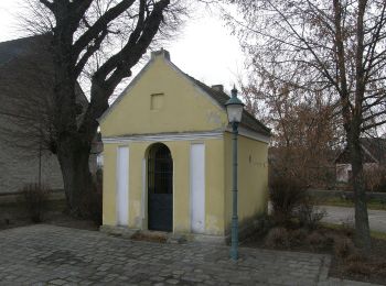
![Randonnée A pied Gemeinde Poysdorf - Poysbrunner Weg - Photo](https://media.geolcdn.com/t/350/260/2e8cd0aa-8b39-416b-ba5c-847146f4dbfa.jpeg&format=jpg&maxdim=2)
![A pied A pied](https://static1.geolcdn.com/sitytour/trail-icons/100.png)
Km
A pied
![](/images/other/stat-length.png)
![](https://static1.geolcdn.com/siteimages/upload/files/1508320355ic_sort_den_pos_24dp.png)
![](https://static1.geolcdn.com/siteimages/upload/files/1508320355ic_sort_den_neg_24dp.png)
![](https://static1.geolcdn.com/siteimages/upload/files/16400158638029165_repeat_loop_refresh_sync_direction_icon.png)
• Symbole: 3-teilig, grüner Balken auf weißem Grund
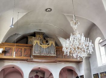
![Randonnée A pied Gemeinde Poysdorf - Altruppersdorfer Weg - Photo](https://media.geolcdn.com/t/350/260/0e44d3ce-6bfc-4c30-b87f-54f068421eb7.jpeg&format=jpg&maxdim=2)
![A pied A pied](https://static1.geolcdn.com/sitytour/trail-icons/100.png)
Km
A pied
![](/images/other/stat-length.png)
![](https://static1.geolcdn.com/siteimages/upload/files/1508320355ic_sort_den_pos_24dp.png)
![](https://static1.geolcdn.com/siteimages/upload/files/1508320355ic_sort_den_neg_24dp.png)
![](https://static1.geolcdn.com/siteimages/upload/files/16400158638029165_repeat_loop_refresh_sync_direction_icon.png)
• Symbole: 3-teilig, blauer Balken auf weißem Grund
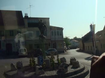
![Randonnée A pied Gemeinde Poysdorf - 3-Schwestern-Weg - Photo](https://media.geolcdn.com/t/350/260/23f7cab8-cd26-4d83-9e60-a241b9587716.jpeg&format=jpg&maxdim=2)
![A pied A pied](https://static1.geolcdn.com/sitytour/trail-icons/100.png)
Km
A pied
![](/images/other/stat-length.png)
![](https://static1.geolcdn.com/siteimages/upload/files/1508320355ic_sort_den_pos_24dp.png)
![](https://static1.geolcdn.com/siteimages/upload/files/1508320355ic_sort_den_neg_24dp.png)
![](https://static1.geolcdn.com/siteimages/upload/files/16400158638029165_repeat_loop_refresh_sync_direction_icon.png)
• Symbole: 3-teilig, blauer Balken auf weißem Grund
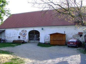
![Randonnée A pied Gemeinde Mistelbach - Rundwanderweg Gartenfeld/Rustenfeld - Photo](https://media.geolcdn.com/t/350/260/d4d0f372-53e6-4304-bf3e-e51576b95435.jpeg&format=jpg&maxdim=2)
![A pied A pied](https://static1.geolcdn.com/sitytour/trail-icons/100.png)
Km
A pied
![](/images/other/stat-length.png)
![](https://static1.geolcdn.com/siteimages/upload/files/1508320355ic_sort_den_pos_24dp.png)
![](https://static1.geolcdn.com/siteimages/upload/files/1508320355ic_sort_den_neg_24dp.png)
![](https://static1.geolcdn.com/siteimages/upload/files/16400158638029165_repeat_loop_refresh_sync_direction_icon.png)
• Randonnée créée par Stadtgemeinde Mistelbach. Symbole: zweiteilig waagrecht, gelb oben, grün unten
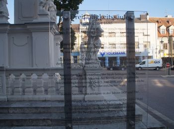
![Randonnée A pied Gemeinde Mistelbach - Zayarundwanderweg - Photo](https://media.geolcdn.com/t/350/260/f38284cd-ab77-423f-85cb-5b2b0679985c.jpeg&format=jpg&maxdim=2)
![A pied A pied](https://static1.geolcdn.com/sitytour/trail-icons/100.png)
Km
A pied
![](/images/other/stat-length.png)
![](https://static1.geolcdn.com/siteimages/upload/files/1508320355ic_sort_den_pos_24dp.png)
![](https://static1.geolcdn.com/siteimages/upload/files/1508320355ic_sort_den_neg_24dp.png)
![](https://static1.geolcdn.com/siteimages/upload/files/16400158638029165_repeat_loop_refresh_sync_direction_icon.png)
• Randonnée créée par Stadtgemeinde Mistelbach. Symbole: zweiteilig waagrecht, gelb oben, grün unten
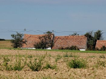
![Randonnée A pied Gemeinde Mistelbach - Rundwanderweg Neuberg - Photo](https://media.geolcdn.com/t/350/260/4be603f1-69e3-4f58-902a-7dcecc597a68.jpeg&format=jpg&maxdim=2)
![A pied A pied](https://static1.geolcdn.com/sitytour/trail-icons/100.png)
Km
A pied
![](/images/other/stat-length.png)
![](https://static1.geolcdn.com/siteimages/upload/files/1508320355ic_sort_den_pos_24dp.png)
![](https://static1.geolcdn.com/siteimages/upload/files/1508320355ic_sort_den_neg_24dp.png)
![](https://static1.geolcdn.com/siteimages/upload/files/16400158638029165_repeat_loop_refresh_sync_direction_icon.png)
• Randonnée créée par Stadtgemeinde Mistelbach. Symbole: zweiteilig waagrecht, gelb oben, grün unten
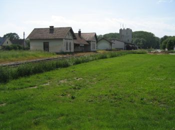
![Randonnée A pied Gemeinde Wilfersdorf - Prinzendorf - Rundwanderweg 4 - Photo](https://media.geolcdn.com/t/350/260/0961ee90-a708-456d-bdb4-d5ad69bfe7d6.jpeg&format=jpg&maxdim=2)
![A pied A pied](https://static1.geolcdn.com/sitytour/trail-icons/100.png)
Km
A pied
![](/images/other/stat-length.png)
![](https://static1.geolcdn.com/siteimages/upload/files/1508320355ic_sort_den_pos_24dp.png)
![](https://static1.geolcdn.com/siteimages/upload/files/1508320355ic_sort_den_neg_24dp.png)
![](https://static1.geolcdn.com/siteimages/upload/files/16400158638029165_repeat_loop_refresh_sync_direction_icon.png)
• Symbole: grüne Raute, darauf gelber Tropfen, schwarze Nr. 4
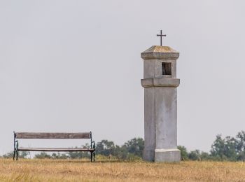
![Randonnée A pied Gemeinde Mistelbach - Kettlasbrunn: Rundwanderweg Satzer Hölzl - Photo](https://media.geolcdn.com/t/350/260/9efdb9a6-805b-49a0-b9c0-1d89ec26fe4e.jpeg&format=jpg&maxdim=2)
![A pied A pied](https://static1.geolcdn.com/sitytour/trail-icons/100.png)
Km
A pied
![](/images/other/stat-length.png)
![](https://static1.geolcdn.com/siteimages/upload/files/1508320355ic_sort_den_pos_24dp.png)
![](https://static1.geolcdn.com/siteimages/upload/files/1508320355ic_sort_den_neg_24dp.png)
![](https://static1.geolcdn.com/siteimages/upload/files/16400158638029165_repeat_loop_refresh_sync_direction_icon.png)
• Randonnée créée par Stadtgemeinde Mistelbach. Symbole: zweiteilig waagrecht, gelb oben, grün unten
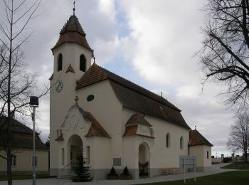
![Randonnée A pied Gemeinde Wilfersdorf - Wilfersdorf, Wasserweg - Photo](https://media.geolcdn.com/t/350/260/567e2059-54c1-413f-9b51-23b67530fd72.jpeg&format=jpg&maxdim=2)
![A pied A pied](https://static1.geolcdn.com/sitytour/trail-icons/100.png)
Km
A pied
![](/images/other/stat-length.png)
![](https://static1.geolcdn.com/siteimages/upload/files/1508320355ic_sort_den_pos_24dp.png)
![](https://static1.geolcdn.com/siteimages/upload/files/1508320355ic_sort_den_neg_24dp.png)
![](https://static1.geolcdn.com/siteimages/upload/files/16400158638029165_repeat_loop_refresh_sync_direction_icon.png)
• Symbole: brauner Pfeil mit weißem Rechteck (Logo)
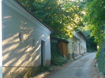
![Randonnée A pied Gemeinde Mistelbach - Frättingsdorf, Rundwanderweg zur Mistelquelle - Photo](https://media.geolcdn.com/t/350/260/0fc9e450-da96-4e4a-9136-c27547c9dd80.jpeg&format=jpg&maxdim=2)
![A pied A pied](https://static1.geolcdn.com/sitytour/trail-icons/100.png)
Km
A pied
![](/images/other/stat-length.png)
![](https://static1.geolcdn.com/siteimages/upload/files/1508320355ic_sort_den_pos_24dp.png)
![](https://static1.geolcdn.com/siteimages/upload/files/1508320355ic_sort_den_neg_24dp.png)
![](https://static1.geolcdn.com/siteimages/upload/files/16400158638029165_repeat_loop_refresh_sync_direction_icon.png)
• Randonnée créée par Stadtgemeinde Mistelbach. Symbole: zweiteilig waagrecht, gelb oben, grün unten
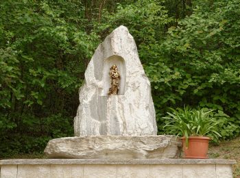
![Randonnée A pied Gemeinde Mistelbach - Höhenweg Hörersdorf - Photo](https://media.geolcdn.com/t/350/260/77b75d14-d7bb-4161-84eb-9a0e9c008a47.jpeg&format=jpg&maxdim=2)
![A pied A pied](https://static1.geolcdn.com/sitytour/trail-icons/100.png)
Km
A pied
![](/images/other/stat-length.png)
![](https://static1.geolcdn.com/siteimages/upload/files/1508320355ic_sort_den_pos_24dp.png)
![](https://static1.geolcdn.com/siteimages/upload/files/1508320355ic_sort_den_neg_24dp.png)
![](https://static1.geolcdn.com/siteimages/upload/files/16400158638029165_repeat_loop_refresh_sync_direction_icon.png)
• Randonnée créée par Stadtgemeinde Mistelbach. Symbole: zweiteilig waagrecht, gelb oben, grün unten
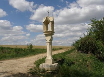
![Randonnée A pied Gemeinde Gaubitsch - Panorama Wanderweg Gaubitsch - Photo](https://media.geolcdn.com/t/350/260/549f18ed-28a7-4acb-a370-be37dba347f5.jpeg&format=jpg&maxdim=2)
![A pied A pied](https://static1.geolcdn.com/sitytour/trail-icons/100.png)
Km
A pied
![](/images/other/stat-length.png)
![](https://static1.geolcdn.com/siteimages/upload/files/1508320355ic_sort_den_pos_24dp.png)
![](https://static1.geolcdn.com/siteimages/upload/files/1508320355ic_sort_den_neg_24dp.png)
![](https://static1.geolcdn.com/siteimages/upload/files/16400158638029165_repeat_loop_refresh_sync_direction_icon.png)
• Randonnée créée par Gemeinde Gaubitsch. Symbole: blaue Tafel mit gelbem Doppelpfeil, weiße Aufschrift: Panorama Wand...
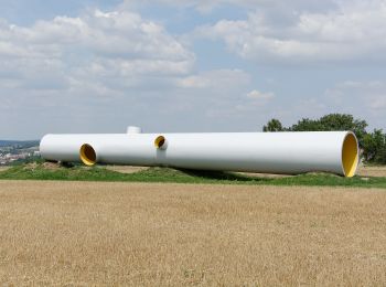
![Randonnée A pied Gemeinde Mistelbach - Rundwanderweg Holzberg - Photo](https://media.geolcdn.com/t/350/260/bbb40a1f-4a57-439f-8557-80d790796821.jpeg&format=jpg&maxdim=2)
![A pied A pied](https://static1.geolcdn.com/sitytour/trail-icons/100.png)
Km
A pied
![](/images/other/stat-length.png)
![](https://static1.geolcdn.com/siteimages/upload/files/1508320355ic_sort_den_pos_24dp.png)
![](https://static1.geolcdn.com/siteimages/upload/files/1508320355ic_sort_den_neg_24dp.png)
![](https://static1.geolcdn.com/siteimages/upload/files/16400158638029165_repeat_loop_refresh_sync_direction_icon.png)
• Randonnée créée par Stadtgemeinde Mistelbach. Wegen Bau der Umfahrung derzeit stellenweise unterbrochen Symbole: zw...
![Randonnée A pied Gemeinde Mistelbach - 2 Hügel-Rundwanderweg - Photo](https://media.geolcdn.com/t/350/260/4be603f1-69e3-4f58-902a-7dcecc597a68.jpeg&format=jpg&maxdim=2)
![A pied A pied](https://static1.geolcdn.com/sitytour/trail-icons/100.png)
Km
A pied
![](/images/other/stat-length.png)
![](https://static1.geolcdn.com/siteimages/upload/files/1508320355ic_sort_den_pos_24dp.png)
![](https://static1.geolcdn.com/siteimages/upload/files/1508320355ic_sort_den_neg_24dp.png)
![](https://static1.geolcdn.com/siteimages/upload/files/16400158638029165_repeat_loop_refresh_sync_direction_icon.png)
• Randonnée créée par Stadtgemeinde Mistelbach. Symbole: zweiteilig waagrecht, gelb oben, grün unten
20 randonnées affichées sur 24
Application GPS de randonnée GRATUITE