


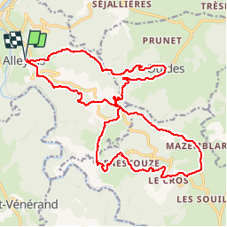


17,4 km | 24 km-effort

Usuario


Aplicación GPS de excursión GRATIS
 SityTrail
IGN / Institutos geográficos
SityTrail World
El mundo es suyo
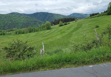
Ruta Bici de montaña de 25 km a descubrir en Auvergne-Rhône-Alpes, Alto Loira, Alleyras. Esta ruta ha sido propuesta por alph13.
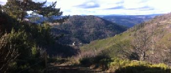
Super point de vue
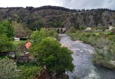
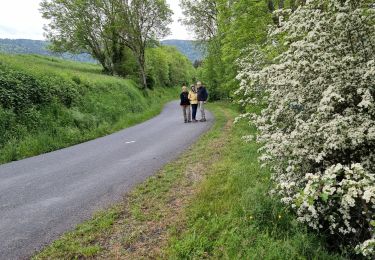
Superbe descente Enduro de Ouïdes à Alleyras avec arrivée dans la vallée exceptionnelle.

Senderismo
Senderismo
Senderismo
Senderismo
Senderismo
Senderismo

Bici de montaña
Bici de montaña
Bici de montaña