


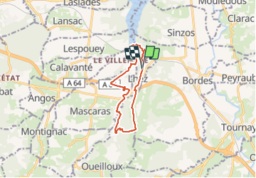


11,6 km | 14,9 km-effort


Usuario GUIDE


Aplicación GPS de excursión GRATIS
 SityTrail
IGN / Institutos geográficos
SityTrail World
El mundo es suyo
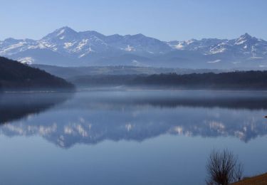
Ruta Senderismo de 11,6 km a descubrir en Occitania, Altos-Pirineos, Lhez. Esta ruta ha sido propuesta por LouisROGER.
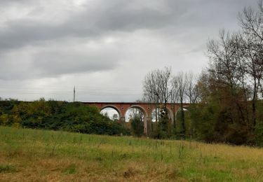
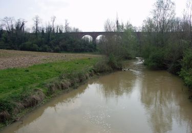
Passez sous les trois ponts du Larré Darré et après le point 5 visitez la forets inondable en haut du lac une petite Louisiane sans les alligators ....
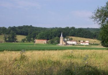
côte abruptes ente la rivière let la crête où se perche le village de Lhez!
à faire aussi en VTT peinard en 2 heures
raccourci possible au départ en prenant à la descenteves l'est ves le point 12


21 fotos en total. Haga clic en una foto para mostrarlas todas en la galería.
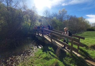
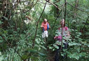
Senderismo
Senderismo
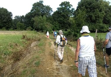
Senderismo
Senderismo
Senderismo
A pie
Bici de montaña
Bici de montaña
Bici de montaña