


9,8 km | 12,1 km-effort

Usuario


Aplicación GPS de excursión GRATIS
 SityTrail
IGN / Institutos geográficos
SityTrail World
El mundo es suyo
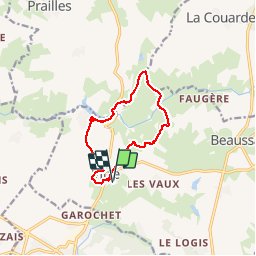
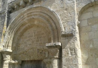
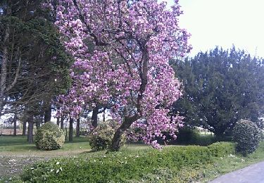
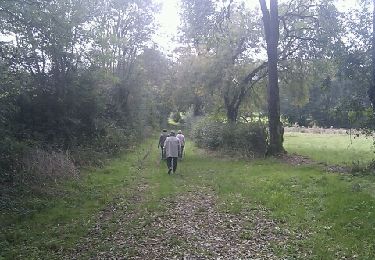
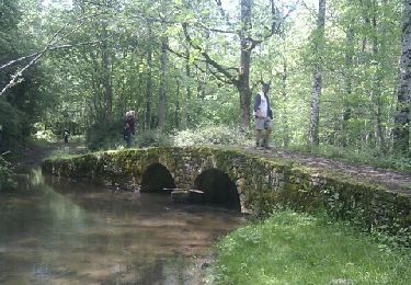
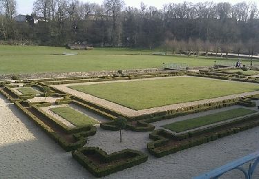
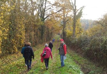
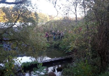
Ruta Senderismo de 10,4 km a descubrir en Nueva Aquitania, Deux-Sèvres, Beaussais-Vitré. Esta ruta ha sido propuesta por olaze.
départ retour VITRE dans campagne, chemins arborés, bord de l'étang du Lambon, vallée du Lambon.

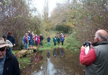
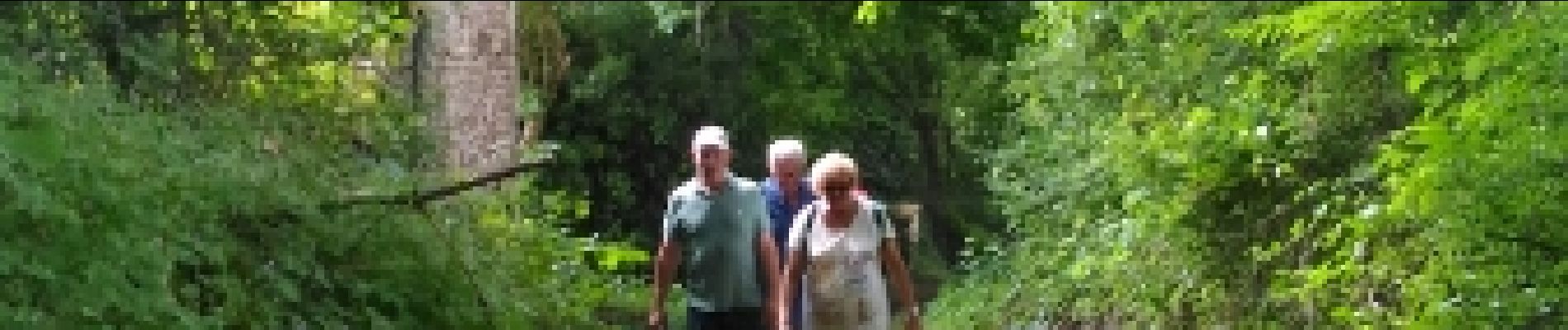
Senderismo
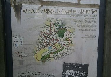
Senderismo
Senderismo
Senderismo
Senderismo
Senderismo
Senderismo
Senderismo
Senderismo