


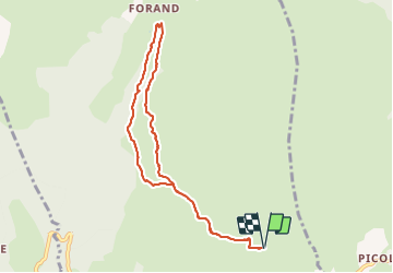

8,6 km | 12 km-effort

Usuario


Aplicación GPS de excursión GRATIS
 SityTrail
IGN / Institutos geográficos
SityTrail World
El mundo es suyo
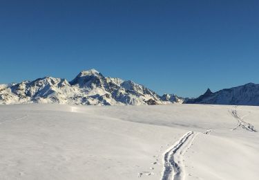
Ruta Senderismo de 8,4 km a descubrir en Auvergne-Rhône-Alpes, Saboya, La Plagne-Tarentaise. Esta ruta ha sido propuesta por jpduc.
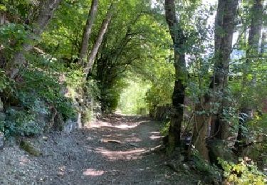
au départ de Valezan, Balade facile vers Les Fours et le long du Canal des Chapelles.
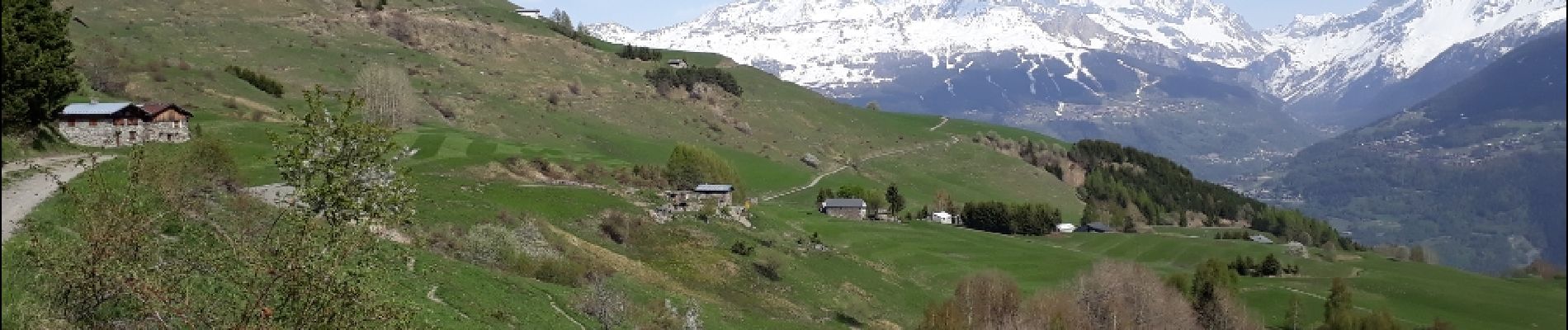
Panorama admirable et très ouvert sur les montagnes dont le Mt Pourri, La grande Casse....


Senderismo
Senderismo

Senderismo
Senderismo
Esquí de fondo
Esquí de fondo

Esquí de fondo
Senderismo

Raquetas de nieve
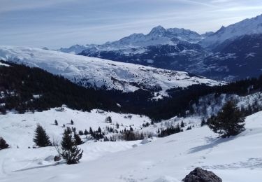
Super rando ! Merci !
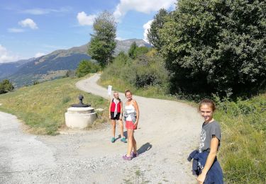
Très belle randonnée facile à faire en famille.