


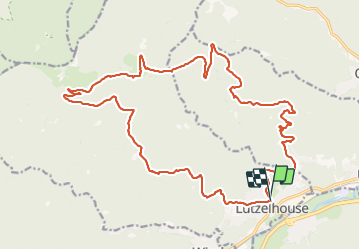

14,9 km | 21 km-effort

Usuario


Aplicación GPS de excursión GRATIS
 SityTrail
IGN / Institutos geográficos
SityTrail World
El mundo es suyo
Ruta Senderismo de 25 km a descubrir en Gran Este, Bajo-Rin, Lutzelhouse. Esta ruta ha sido propuesta por LUTZMarc.
Évité de faire cette rando pendant les fortes chaleurs.
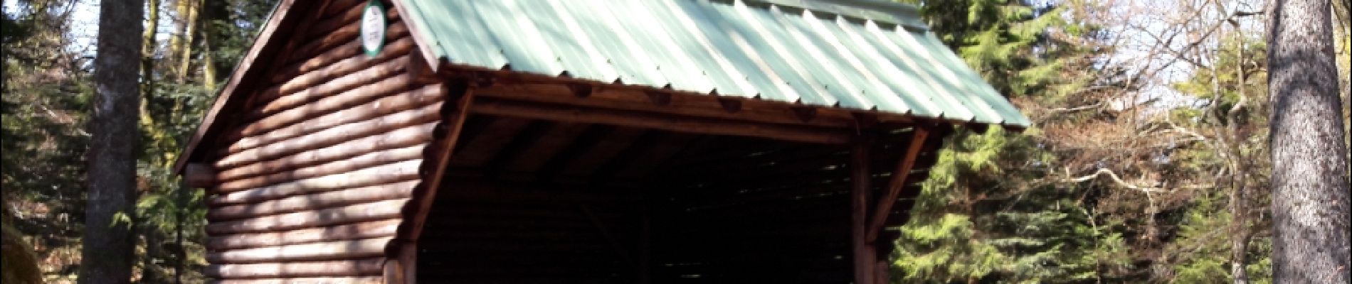
Montées assez éprouvantes.
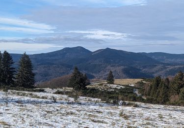
Superbe panorama au sommet sur toute la vallee de la Bruche et les sommets à 360 degres.


Senderismo

Paseo ecuestre

Bici de montaña

Bici de montaña

Senderismo
Senderismo
Paseo ecuestre

Paseo ecuestre
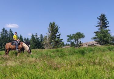
Paseo ecuestre