


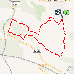

16,3 km | 21 km-effort

Usuario


Aplicación GPS de excursión GRATIS
 SityTrail
IGN / Institutos geográficos
SityTrail World
El mundo es suyo
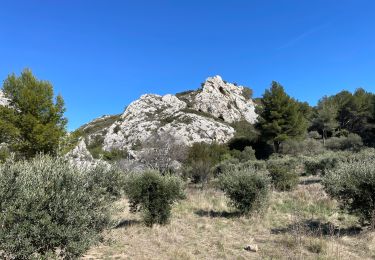
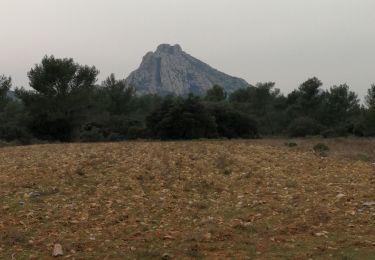
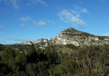
Ruta Senderismo de 10,7 km a descubrir en Provenza-Alpes-Costa Azul, Bocas del Ródano, Eygalières. Esta ruta ha sido propuesta por SabetMick.
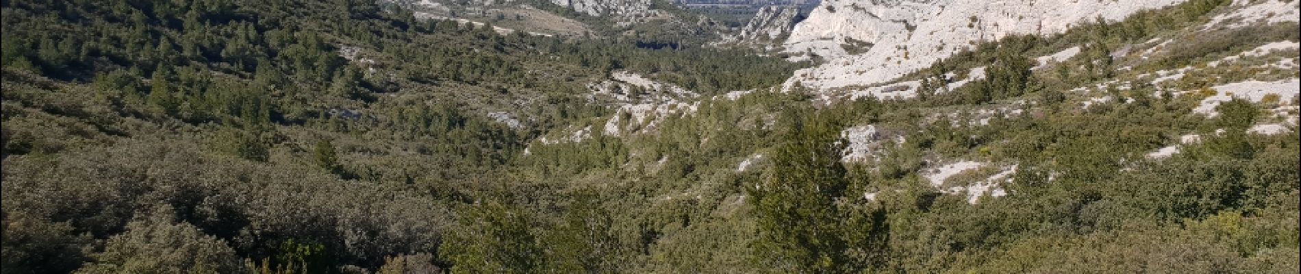
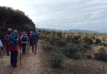
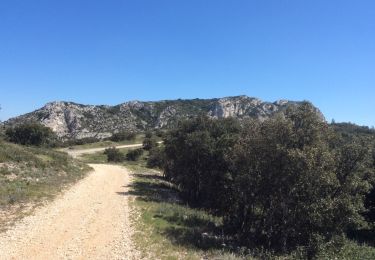
Ballade familliale improvisée au départ d'Eygaliere et au travers de gros Calan. Tres agréable rando avec passage par de petits sentiers au travers des montagne et retour par les DFCI.


Senderismo

Senderismo

Senderismo
Senderismo
Senderismo
Senderismo
Senderismo
Senderismo
Senderismo