


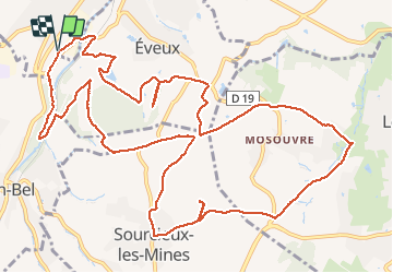

9,6 km | 11,8 km-effort


Usuario


Aplicación GPS de excursión GRATIS
 SityTrail
IGN / Institutos geográficos
SityTrail World
El mundo es suyo
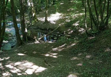
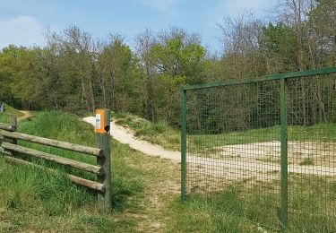
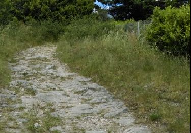
Ruta Senderismo de 16,3 km a descubrir en Auvergne-Rhône-Alpes, Ródano, L'Arbresle. Esta ruta ha sido propuesta por Thomasdanielle.
D/A parking Surper U ou Gifi (zône commercial sur route de Clermont)
Très belle marche (26/03/2018)
Senderismo
Senderismo

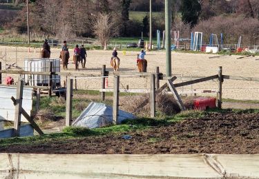
Paseo ecuestre
Senderismo

Senderismo
Senderismo
Senderismo
Senderismo
Senderismo