


21 km | 27 km-effort


Usuario


Aplicación GPS de excursión GRATIS
 SityTrail
IGN / Institutos geográficos
SityTrail World
El mundo es suyo
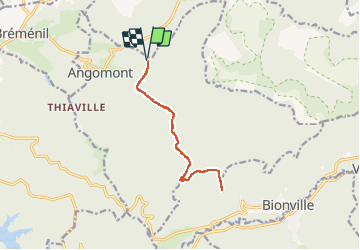
Ruta Senderismo de 11 km a descubrir en Gran Este, Meurthe y Mosela, Angomont. Esta ruta ha sido propuesta por Le_Grand.
A partir de l'abri de la croix Bagué à Angomont aller-retour aux rocher de l'aigle an passant par le haut des planches


Senderismo

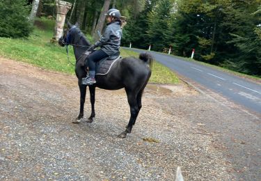
Paseo ecuestre
Senderismo
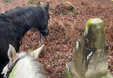
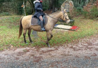
Paseo ecuestre
Paseo ecuestre

Ruta
Paseo ecuestre
Cicloturismo
Senderismo