


28 km | 34 km-effort


Usuario


Aplicación GPS de excursión GRATIS
 SityTrail
IGN / Institutos geográficos
SityTrail World
El mundo es suyo
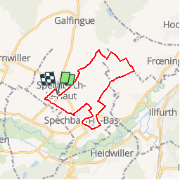
Ruta Senderismo de 12,2 km a descubrir en Gran Este, Alto Rin, Spechbach. Esta ruta ha sido propuesta por E.BURCK.
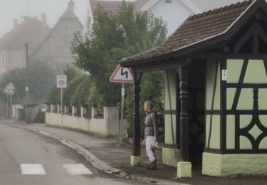
ACCÈS : - A Spechbach le Haut, rue de l'église
PARKING : -parking de la salle polyvalente près de l'église de Spechbach le Haut.
47.680041, 7.215418 N 47°40'48" E 7°12'55"
RESTAURATION :
Restaurant: Au Bon Accueil, 2 rue d'Illfurth à Spechbach le bas.
Tél. 03 89 25 40 21
Senderismo

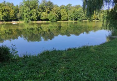
Senderismo
Bici de montaña
Senderismo
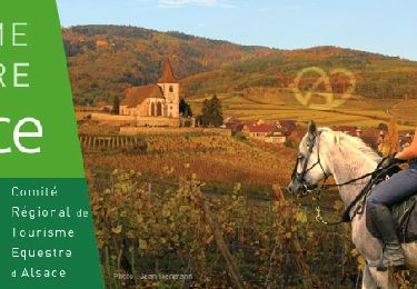
Paseo ecuestre

Paseo ecuestre
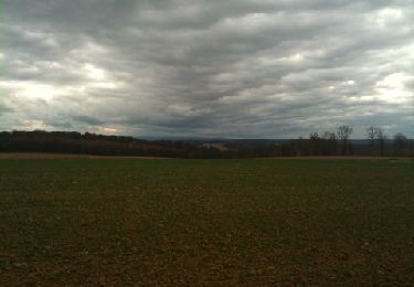
Senderismo