


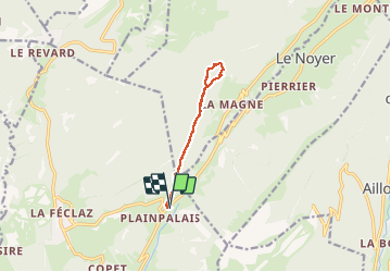

16,6 km | 24 km-effort

Usuario


Aplicación GPS de excursión GRATIS
 SityTrail
IGN / Institutos geográficos
SityTrail World
El mundo es suyo
Ruta Raquetas de nieve de 9,2 km a descubrir en Auvergne-Rhône-Alpes, Saboya, Les Déserts. Esta ruta ha sido propuesta por Bogapuki.
4 décembre 2017
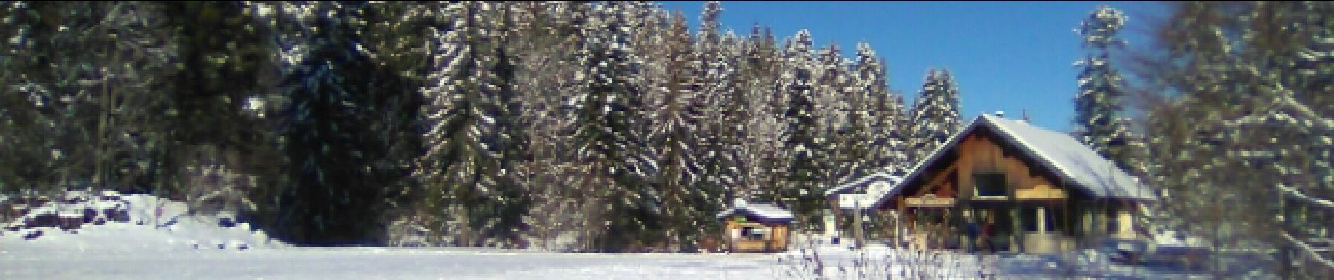
Très belle rando raquette dans de la belle neige et sous le soleil.


Senderismo

Senderismo

Senderismo

Senderismo
Senderismo
Senderismo
Senderismo

Senderismo

Senderismo