


 - Photo 21")
 - Photo 22")
 - Photo 23")
 - Photo 24")
 - Photo 25")
 - Photo 26")
 - Photo 27")
 - Photo 28")
 - Photo 29")
 - Photo 30")


8,7 km | 12,4 km-effort

Usuario


Aplicación GPS de excursión GRATIS
 SityTrail
IGN / Institutos geográficos
SityTrail World
El mundo es suyo
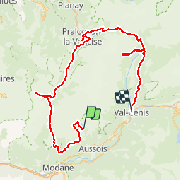
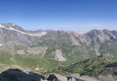
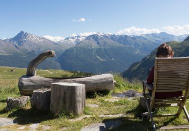
Ruta Senderismo de 82 km a descubrir en Auvergne-Rhône-Alpes, Saboya, Aussois. Esta ruta ha sido propuesta por Elbe.
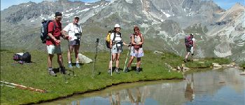
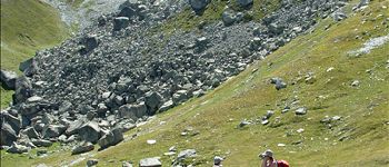
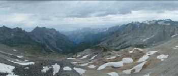
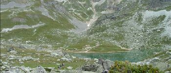
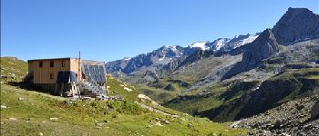
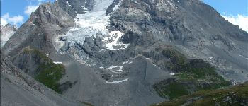
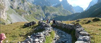
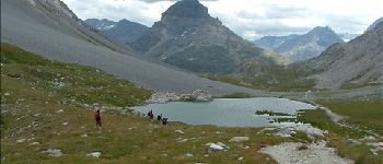
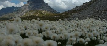
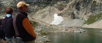
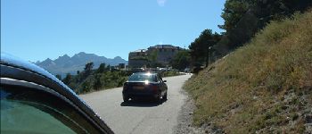
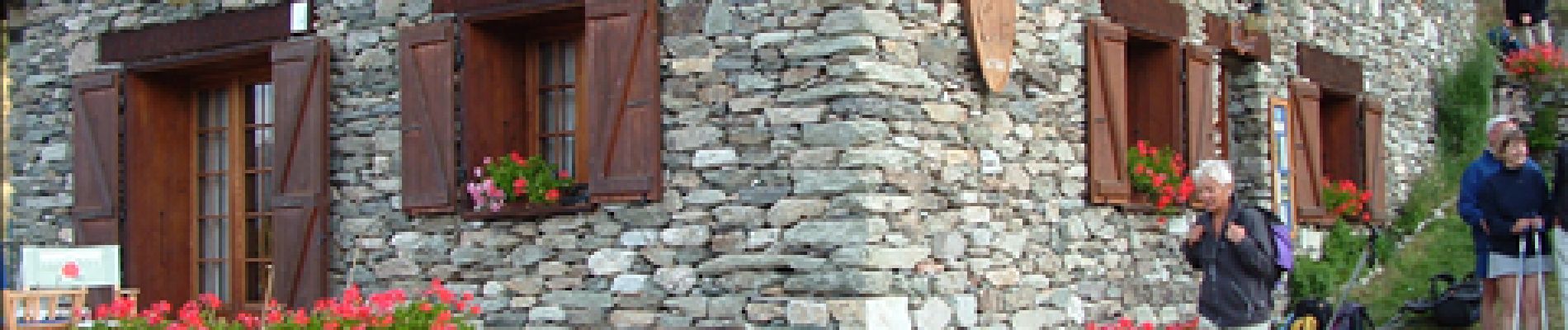
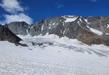
Une semaine dans la Vanoise avec L'HSLP et deux guides nature des Contamines Montjoie (Yves Jacquemoud & Pierre. Hébergement au Fort Marie-Christine. Après être montés en 4x4, départ entre le Plan d'Amont & le Plan d'Aval. Étapes aux refuges :
1) de l'Aiguille du Doran,
2) Péclet-Polset,
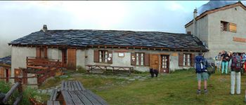
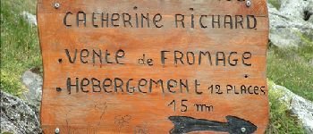
3) Le Repoju,
4) de l'Isertan,
5 & 6) Entre Deux Eaux.
Arrivée à Termignon, puis retour en taxi au Fort Marie-Christine.
 - Photo 1")
 - Photo 2")
 - Photo 3")
 - Photo 4")
 - Photo 5")
 - Photo 6")
 - Photo 7")
 - Photo 8")
 - Photo 9")
 - Photo 10")
 - Photo 11")
 - Photo 12")
 - Photo 13")
 - Photo 14")
 - Photo 15")
 - Photo 16")
 - Photo 17")
 - Photo 18")
 - Photo 19")
 - Photo 20")
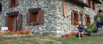
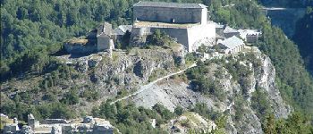
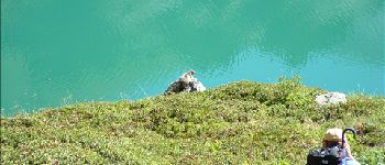
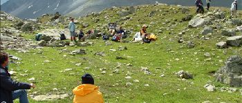
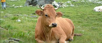
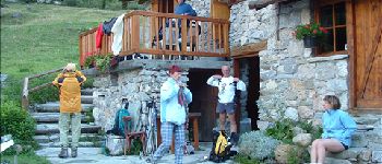
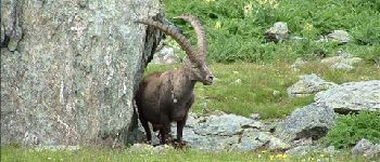
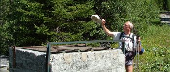
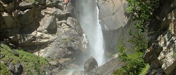
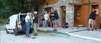
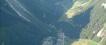
30 fotos en total. Haga clic en una foto para mostrarlas todas en la galería.

Carrera

Senderismo
Senderismo

Senderismo
Senderismo

A pie
A pie

A pie

Senderismo