


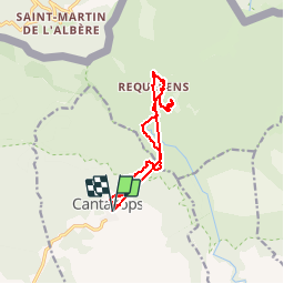

11,5 km | 14,5 km-effort

Usuario


Aplicación GPS de excursión GRATIS
 SityTrail
IGN / Institutos geográficos
SityTrail World
El mundo es suyo
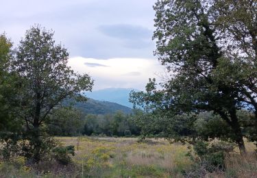
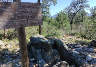
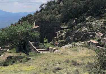
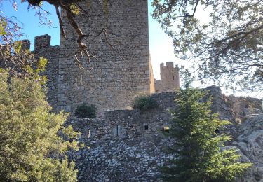
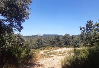
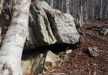
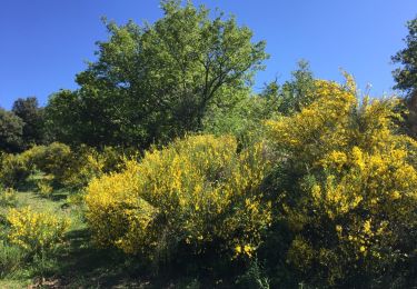
Ruta Senderismo de 14,6 km a descubrir en Cataluña, Gerona, Cantallops. Esta ruta ha sido propuesta por Richard68500.
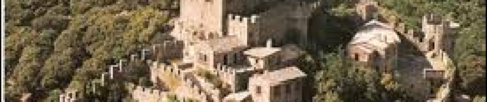
Rando au piémont sud des Albères en passant par le château de Requesens, repas à la la cantina, ferme auberge en pleine forêt.
 - Photo 1")
 - Photo 2")
A pie
A pie
Senderismo
Senderismo
Senderismo
Senderismo
Senderismo
Senderismo
Senderismo