


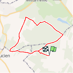

11,6 km | 13,8 km-effort


Usuario


Aplicación GPS de excursión GRATIS
 SityTrail
IGN / Institutos geográficos
SityTrail World
El mundo es suyo
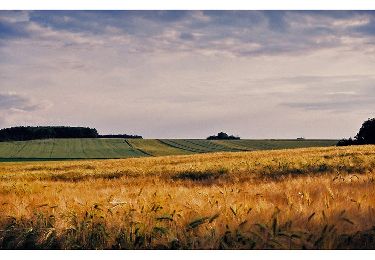
Ruta Senderismo de 7,7 km a descubrir en Isla de Francia, Yvelines, Hermeray. Esta ruta ha sido propuesta por cheche28.
SPA La Bertière vers Château Rouge (via fond vert), Pente de Manimont (chemin plein de feuilles) - Le Val et Saint Lucien

Senderismo
Senderismo
Senderismo
Senderismo
Senderismo
Senderismo
Senderismo