


1,1 km | 1,3 km-effort


Usuario


Aplicación GPS de excursión GRATIS
 SityTrail
IGN / Institutos geográficos
SityTrail World
El mundo es suyo
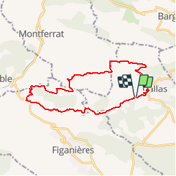
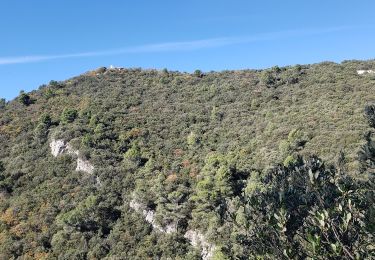
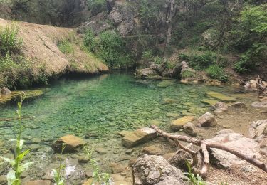
Ruta Senderismo de 15,9 km a descubrir en Provenza-Alpes-Costa Azul, Var, Callas. Esta ruta ha sido propuesta por Sugg.
Callas ( nouveau tracé ) suite reco du 09-01-17 avec Martine.
Nouveau départ face au jeu de boules sur la route de l'ancienne voie ferrée.

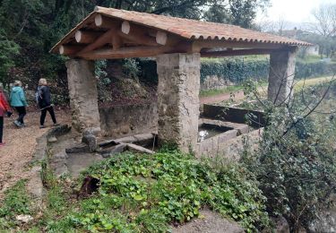
Senderismo

Senderismo
Senderismo
Senderismo
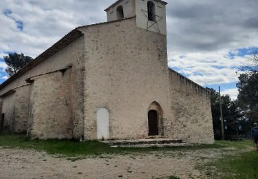
Senderismo
Senderismo
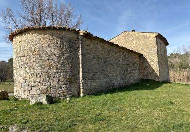
Senderismo


sport
Senderismo