


10,5 km | 13,1 km-effort


Usuario


Aplicación GPS de excursión GRATIS
 SityTrail
IGN / Institutos geográficos
SityTrail World
El mundo es suyo
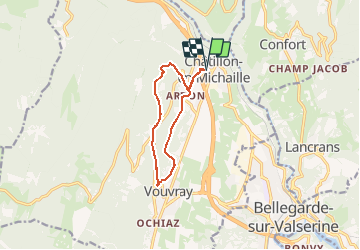
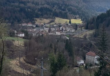
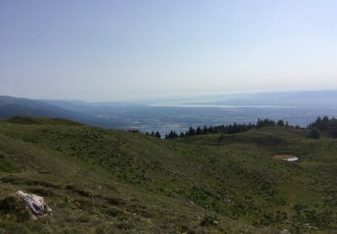
Ruta Senderismo de 9,5 km a descubrir en Auvergne-Rhône-Alpes, Ain, Valserhône. Esta ruta ha sido propuesta por Filkine.
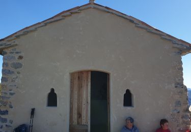
Départ place Clertan-Ardon-sentier botanique-Pré Jantet-Vouvray-Chapelle d'Ardon-retour à Chatillon en Michaille

Senderismo
Senderismo
Senderismo
Raquetas de nieve
Senderismo
Senderismo
Senderismo
Senderismo
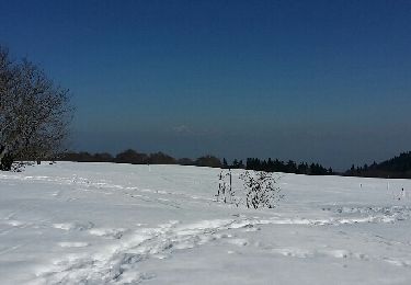
Raquetas de nieve