


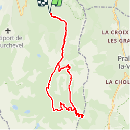


11,4 km | 24 km-effort

Usuario


Aplicación GPS de excursión GRATIS
 SityTrail
IGN / Institutos geográficos
SityTrail World
El mundo es suyo
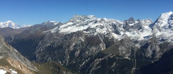
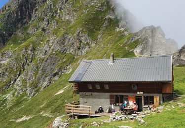
Ruta Senderismo de 20 km a descubrir en Auvergne-Rhône-Alpes, Saboya, Courchevel. Esta ruta ha sido propuesta por redfire73.
Départ des Belvèdères, en passant pas la vallée des avals, ensuite monter pas le lac blanc jusqu'au sommet.
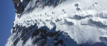
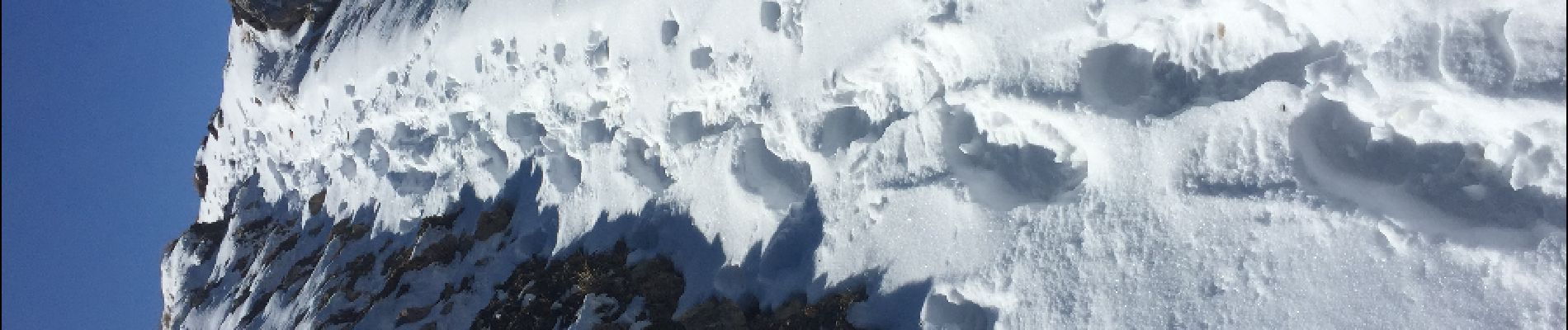
Descente pas le col des saulces et la combe des roches et finir par les avals.


Senderismo

Senderismo

Senderismo

Senderismo

Senderismo
Bici de montaña
Senderismo

Senderismo
Senderismo