


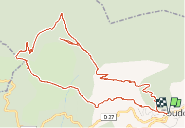

7,9 km | 15 km-effort


Usuario


Aplicación GPS de excursión GRATIS
 SityTrail
IGN / Institutos geográficos
SityTrail World
El mundo es suyo
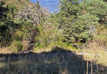
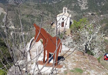
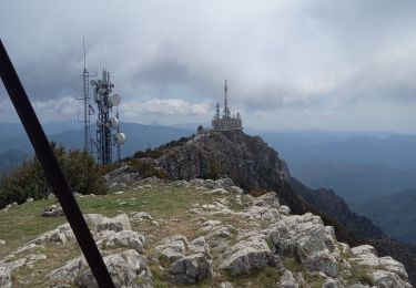
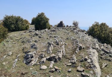
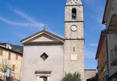
Ruta Senderismo de 7,5 km a descubrir en Provenza-Alpes-Costa Azul, Alpes Marítimos, Toudon. Esta ruta ha sido propuesta por DIDIERLESERT.
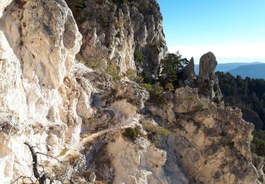
A T T E N T I O N
Pour les personnes sujet aux vertiges A la baisse des collettes
Petite escalade facile
Senderismo
A pie
Senderismo
Senderismo
Senderismo
Senderismo
Senderismo
A pie
Senderismo