


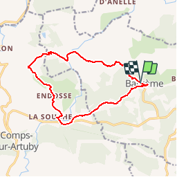

11,7 km | 19,4 km-effort


Usuario


Aplicación GPS de excursión GRATIS
 SityTrail
IGN / Institutos geográficos
SityTrail World
El mundo es suyo
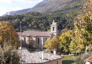
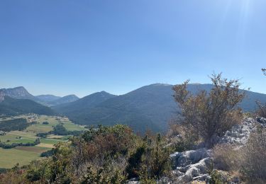
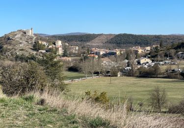
Ruta Senderismo de 14,2 km a descubrir en Provenza-Alpes-Costa Azul, Var, Bargème. Esta ruta ha sido propuesta por Sugg.
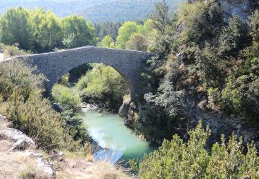
parcours à reconnaître pour le 8-11-17, ou voir avec Patrick Boeuf pour un aller retour au moulin ( 8kms ) ???
Senderismo
Senderismo
Senderismo
Senderismo
Senderismo
Senderismo
Senderismo

sport
Senderismo