


9,3 km | 11,1 km-effort

Usuario


Aplicación GPS de excursión GRATIS
 SityTrail
IGN / Institutos geográficos
SityTrail World
El mundo es suyo
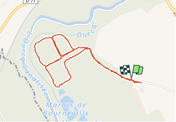
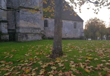
Ruta Senderismo de 2,9 km a descubrir en Alta Francia, Oise, Marolles. Esta ruta ha sido propuesta por JeanLucA4.
voir aussi:
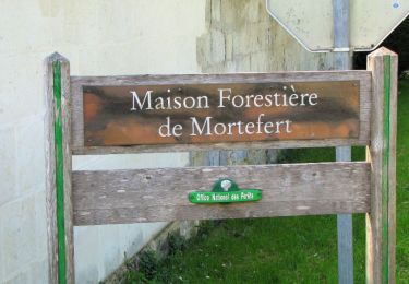
http://foret-de-retz.over-blog.com/
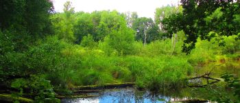
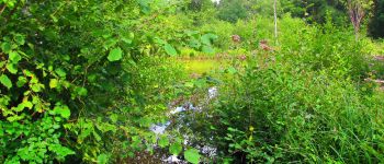
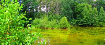
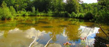
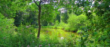
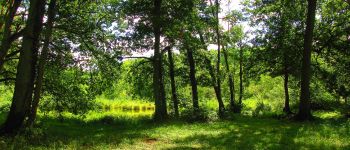
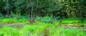
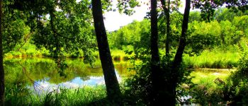
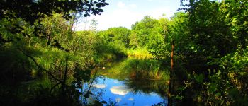
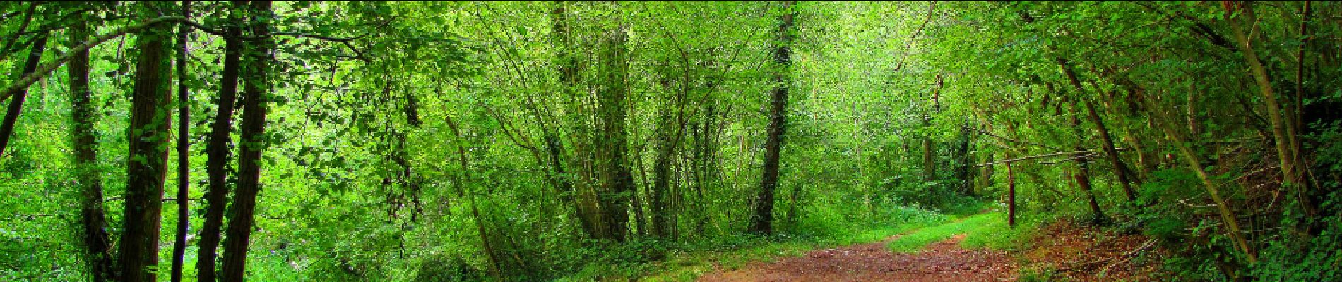
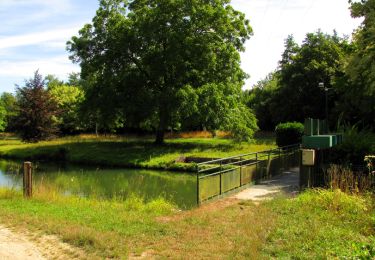
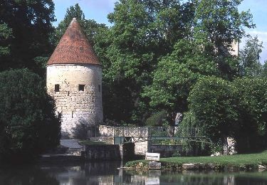
balade dans le marais de Bourneville (zone protégée) près de la Ferté-Milon et de Marolles.
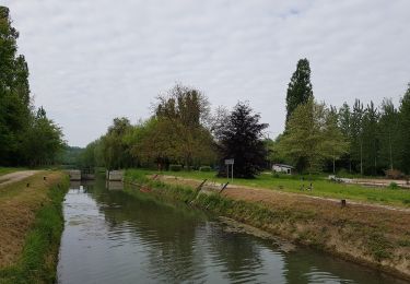
Il est possible de rejoindre le chemin de halage de l'étang de l'Ourcq (GR11) à partir du marais en suivant le chemin qui longe le champ comme indiqué sur la carte IGN.


41 fotos en total. Haga clic en una foto para mostrarlas todas en la galería.
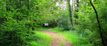
Senderismo
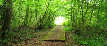
Senderismo
Senderismo
Senderismo
Senderismo
Senderismo
Senderismo
Senderismo