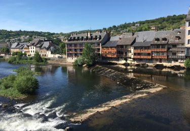
22 km | 32 km-effort
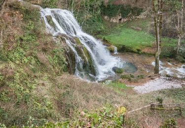
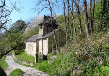
la chapelle de servieres le 17-07-17
chantal12
Usuario
Longitud
10,4 km
Altitud máxima
539 m
Desnivel positivo
312 m
Km-Effort
14,6 km
Altitud mínima
304 m
Desnivel negativo
312 m
Boucle
Sí
Fecha de creación :
2017-07-18 00:00:00.0
Última modificación :
2017-07-18 00:00:00.0
3h26
Dificultad : Desconocido
Aplicación GPS de excursión GRATIS
A propósito
Ruta Senderismo de 10,4 km a descubrir en Occitania, Aveyron, Villecomtal. Esta ruta ha sido propuesta por chantal12.
Localización
País:
France
Región :
Occitania
Departamento/provincia :
Aveyron
Municipio :
Villecomtal
Localidad:
Unknown
Salida:(Dec)
Salida:(UTM)
465338 ; 4931879 (31T) N.
Comentarios
Excursiones cerca
Terra Trail 9
A pie
Fácil
Muret-le-Château,
Occitania,
Aveyron,
France
11 km | 12,6 km-effort
2h 52min
No
Le Plateau de Campuac
A pie
Fácil
Campuac,
Occitania,
Aveyron,
France
7,6 km | 9 km-effort
2h 2min
No
La Chapelle de Servières
A pie
Fácil
Mouret,
Occitania,
Aveyron,
France
5,6 km | 7,2 km-effort
1h 38min
No
Les Corniches des Douzes
A pie
Fácil
Muret-le-Château,
Occitania,
Aveyron,
France
12 km | 15,5 km-effort
3h 31min
Sí
Villecomtal dans le 12
Bici eléctrica
Muret-le-Château,
Occitania,
Aveyron,
France
5,7 km | 6,8 km-effort
21min
No
Atlamed campuac - espalion
Otra actividad
Muy fácil
Campuac,
Occitania,
Aveyron,
France
26 km | 35 km-effort
6h 6min
No
Site VTT FFC - Gorges Lot et Truyère - Circuit n°1 Les Deux Clochers
Bici de montaña
Difícil
Campuac,
Occitania,
Aveyron,
France
25 km | 31 km-effort
1h 45min
Sí
Campuac à Conques
Senderismo
Difícil
Campuac,
Occitania,
Aveyron,
France
22 km | 30 km-effort
7h 5min
No