


9,6 km | 10,4 km-effort

Usuario


Aplicación GPS de excursión GRATIS
 SityTrail
IGN / Institutos geográficos
SityTrail World
El mundo es suyo
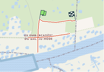
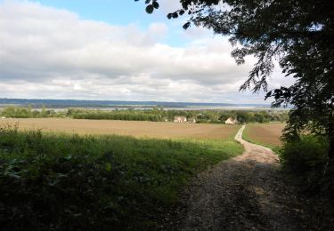
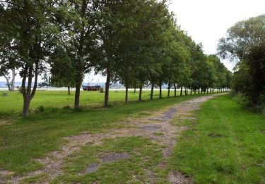
Ruta Senderismo de 8,1 km a descubrir en Normandía, Sena-Marítimo, Saint-Vigor-d'Ymonville. Esta ruta ha sido propuesta por MarcherEnsemble.
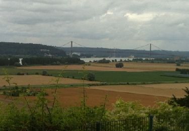
Passer rive gauche par le pont du Hode.
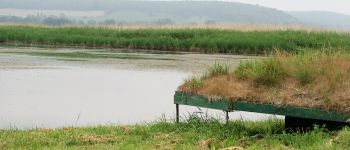
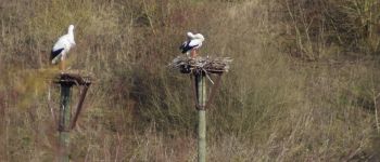
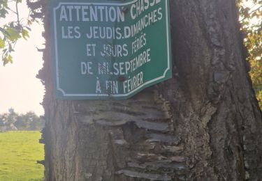
Les cigognes sont dans un espace protégé clos.
Prévoir des jumelles et un téléobjectif, il n'est pas possible de s'approcher très près.


31 fotos en total. Haga clic en una foto para mostrarlas todas en la galería.

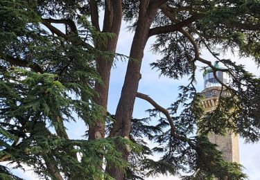
Senderismo
Senderismo
Senderismo
Senderismo

Senderismo
A pie
Senderismo

Senderismo
Senderismo