


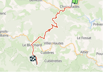


20 km | 28 km-effort

Usuario


Aplicación GPS de excursión GRATIS
 SityTrail
IGN / Institutos geográficos
SityTrail World
El mundo es suyo
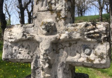
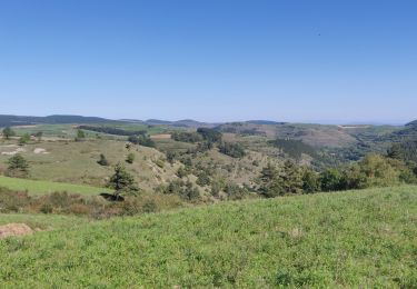
Ruta Senderismo de 25 km a descubrir en Occitania, Lozère, Mont Lozère et Goulet. Esta ruta ha sido propuesta por kephas.
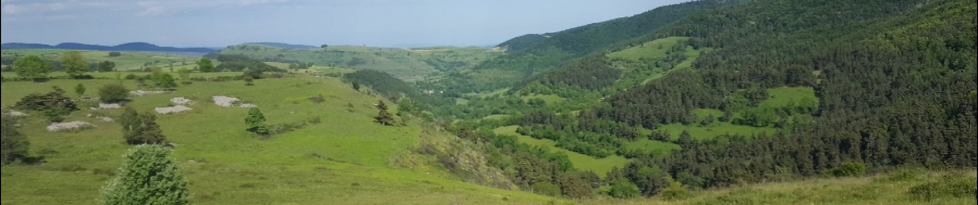
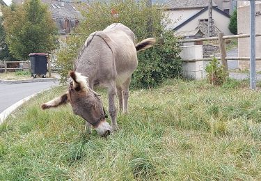
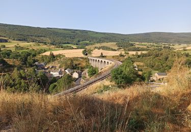
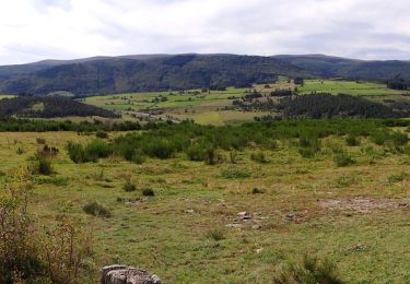
Belle étape avec un détour aux sources du Lot.
La fin amorce l'ascension du Mont Finiels pour se réserver du temps le lendemain


Senderismo

Senderismo
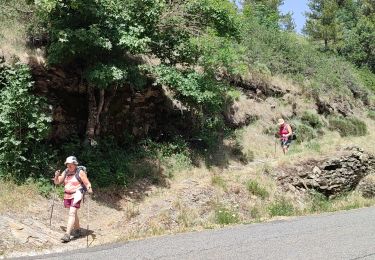
Senderismo
Senderismo
Senderismo
Bici de montaña
Senderismo
Senderismo
Paseo ecuestre