


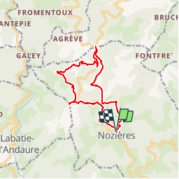

17,7 km | 26 km-effort


Usuario


Aplicación GPS de excursión GRATIS
 SityTrail
IGN / Institutos geográficos
SityTrail World
El mundo es suyo
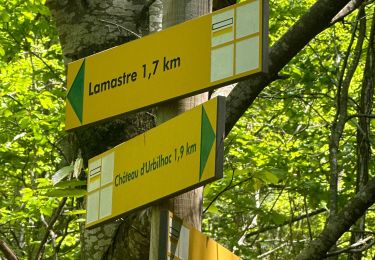
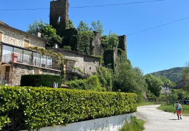
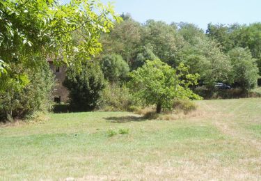
Ruta Senderismo de 13,2 km a descubrir en Auvergne-Rhône-Alpes, Ardecha, Nozières. Esta ruta ha sido propuesta por claufranck.
Balade sympathique sur Nozières en allant jusqu'au Col du Buisson et en rentrant par le point culminant de la commune

sport
sport

Senderismo

Senderismo

Bici de montaña

Senderismo

Senderismo

Senderismo
Senderismo