


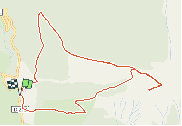

15,4 km | 26 km-effort


Usuario


Aplicación GPS de excursión GRATIS
 SityTrail
IGN / Institutos geográficos
SityTrail World
El mundo es suyo
Ruta Senderismo de 6,5 km a descubrir en Provenza-Alpes-Costa Azul, Altos Alpes, Ancelle. Esta ruta ha sido propuesta por Dervalmarc.
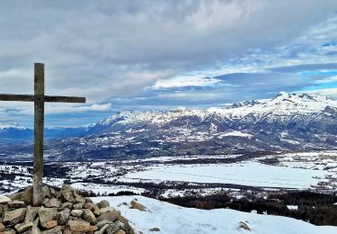
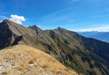
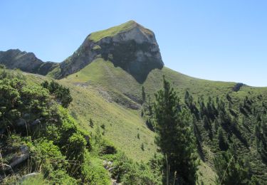
Rando trés physique montée courte mais trés soutenue malgré un faible dénivellé.Attention au chutes de pierres dans la montée et descente du col pour accéder a la cime.

Carrera
Senderismo

Senderismo
Senderismo

Senderismo

Senderismo

Senderismo

Senderismo
Senderismo