


14,7 km | 18,3 km-effort


Usuario


Aplicación GPS de excursión GRATIS
 SityTrail
IGN / Institutos geográficos
SityTrail World
El mundo es suyo
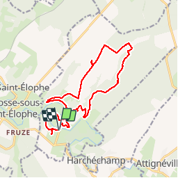
Ruta Senderismo de 15,4 km a descubrir en Gran Este, Vosgos, Autigny-la-Tour. Esta ruta ha sido propuesta por grattounette.
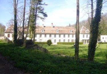
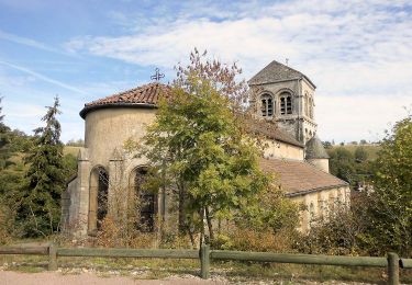
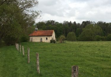
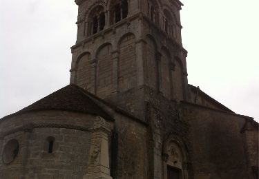
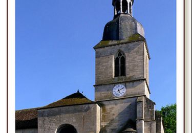
départ du pont d'autigny passage par son église, direction le moulin du bas les vignes, et descendre vers le moulin du haut remonter par un long chemin blanc le bois de boinville, le cul des cerises puis retour par petite route de Martigny les gerbonvaux, sur le chemin faire une halte à la fontaine Amont, superbe point de vue sur autigny depuis le coteaux de la rivière retour par le petit bois du haut de fruze, petit détour par un superbe calvaire bien caché retour au point de de départ avec vue sur le beau pont de Autigny la tour
Senderismo
A pie
Paseo ecuestre
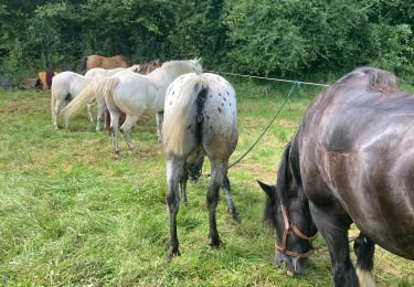
Paseo ecuestre
Senderismo
Senderismo
Senderismo

Bicicleta híbrida