


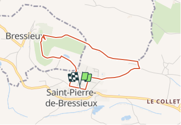

9,2 km | 12,3 km-effort


Usuario


Aplicación GPS de excursión GRATIS
 SityTrail
IGN / Institutos geográficos
SityTrail World
El mundo es suyo
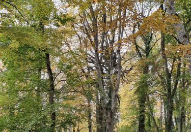
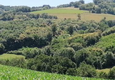
Ruta Senderismo de 3,7 km a descubrir en Auvergne-Rhône-Alpes, Isère, Saint-Pierre-de-Bressieux. Esta ruta ha sido propuesta por raymondfn.
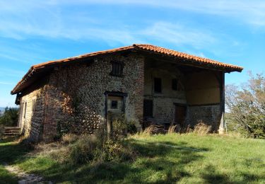
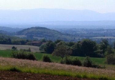
Montée possible dans une des tours du château, au sommet très beau point de vue, mais escalier en colimaçon étroit et sombre, prudence...

Senderismo
Senderismo
Senderismo
Senderismo
Senderismo
Senderismo

Senderismo
Senderismo
Senderismo