


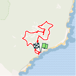

10,4 km | 17,5 km-effort

Usuario


Aplicación GPS de excursión GRATIS
 SityTrail
IGN / Institutos geográficos
SityTrail World
El mundo es suyo
Ruta Senderismo de 8,6 km a descubrir en Provenza-Alpes-Costa Azul, Var, Saint-Raphaël. Esta ruta ha sido propuesta por SabetMick.
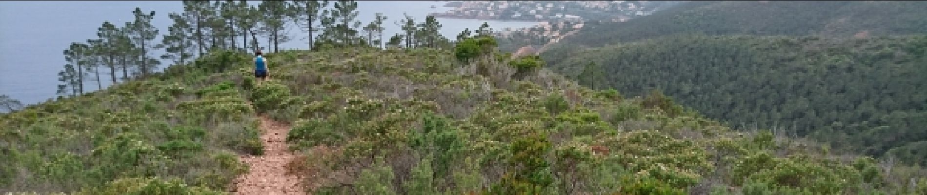
Très très jolie randonnée dans un paysage méditerranéen magnifique avec de superbes vues sur le littoral tout le long de la rando. Prévoir de bonnes chaussures de rando car vous ne rencontrerez que des chemins très caillouteux.


Senderismo

Senderismo

Senderismo

Senderismo

Senderismo

Senderismo

Senderismo

Senderismo

Senderismo