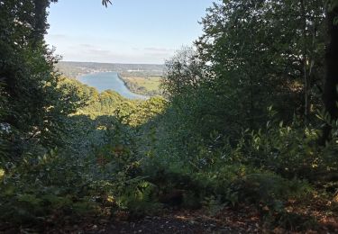
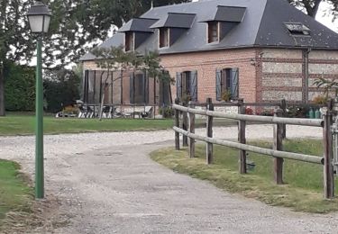
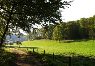
9,7 km | 12,5 km-effort
ASCR
thle
Usuario
Longitud
21 km
Altitud máxima
143 m
Desnivel positivo
470 m
Km-Effort
27 km
Altitud mínima
21 m
Desnivel negativo
469 m
Boucle
Sí
Fecha de creación :
2017-05-09 00:00:00.0
Última modificación :
2017-05-09 00:00:00.0
5m
Dificultad : Fácil
Aplicación GPS de excursión GRATIS
A propósito
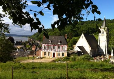
Ruta Caballo de 21 km a descubrir en Normandía, Sena-Marítimo, Saint-Nicolas-de-la-Haie. Esta ruta ha sido propuesta por thle.
Localización
País:
France
Región :
Normandía
Departamento/provincia :
Sena-Marítimo
Municipio :
Saint-Nicolas-de-la-Haie
Localidad:
Unknown
Salida:(Dec)
Salida:(UTM)
327870 ; 5491861 (31U) N.
Comentarios
Excursiones cerca
Balade à Villequier
Senderismo
Fácil
(1)
Rives-en-Seine,
Normandía,
Sena-Marítimo,
France
2h 0min
Sí
allouille bellefosse
Senderismo
Muy fácil
(2)
Allouville-Bellefosse,
Normandía,
Sena-Marítimo,
France
10,4 km | 12,6 km-effort
2h 30min
Sí
Villequier
Senderismo
Medio
Rives-en-Seine,
Normandía,
Sena-Marítimo,
France
9,3 km | 12 km-effort
2h 23min
Sí
Allouville -Bellefosse
Senderismo
Difícil
(1)
Allouville-Bellefosse,
Normandía,
Sena-Marítimo,
France
10,3 km | 12,5 km-effort
2h 52min
Sí
St Aubin de Crétot
Senderismo
Medio
Saint-Aubin-de-Crétot,
Normandía,
Sena-Marítimo,
France
17,8 km | 23 km-effort
3h 40min
No
Allouville Bellefosse 25/08/2024
Senderismo
Difícil
Allouville-Bellefosse,
Normandía,
Sena-Marítimo,
France
10,6 km | 12,8 km-effort
2h 54min
Sí
Bébec les sources (Villequier) 139
Senderismo
Difícil
Rives-en-Seine,
Normandía,
Sena-Marítimo,
France
11,4 km | 14 km-effort
3h 11min
Sí
bebec le 6 10
Senderismo
Difícil
(1)
Rives-en-Seine,
Normandía,
Sena-Marítimo,
France
10,4 km | 12,5 km-effort
2h 46min
Sí
Saint Gilles de Crétot
A pie
Fácil
Saint-Gilles-de-Crétot,
Normandía,
Sena-Marítimo,
France
6,1 km | 7,5 km-effort
1h 30min
Sí