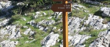
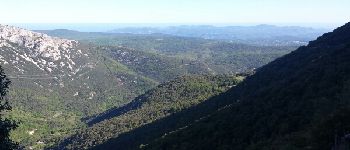
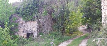
Excursión Senderismo Saint-Vallier-de-Thiey - Climb from the river Siagne to Escragolles - Photo
 Palimpseste
Palimpseste

Usuario

© OpenStreetMap contributors
Longitud
Longitud
9,7 km
Altitud máxima
Altitud máxima
1094 m
Desnivel positivo
Desnivel positivo
510 m
Km-Effort
Km-Effort  
16,6 km
Altitud mínima
Altitud mínima
589 m
Desnivel negativo
Desnivel negativo
513 m
Boucle
Boucle
Fecha de creación :
2018-08-05 15:27:37.325
Última modificación :
2018-08-05 15:27:37.411

(0 Opinión)

Senderismo
Senderismo
2h43
Dificultad : Medio

Escanee este código QR para abrir la excursión en la aplicación SityTrail

Aplicación GPS de excursión GRATIS

Logo SityTrail SityTrail

IGN / Institutos geográficos

Descargar SityTrail en App Store Descargar SityTrail en Google Play

Logo SityTrail SityTrail World

El mundo es suyo

Descargar SityTrail en App Store Descargar SityTrail en Google Play Descargar SityTrail en Huawei AppGallery

A propósito

Ruta Senderismo de 9,7 km a descubrir en Provenza-Alpes-Costa Azul, Alpes Marítimos, Saint-Vallier-de-Thiey. Esta ruta ha sido propuesta por Palimpseste.

Descripción

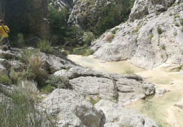
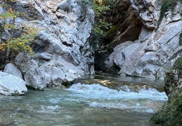
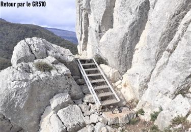
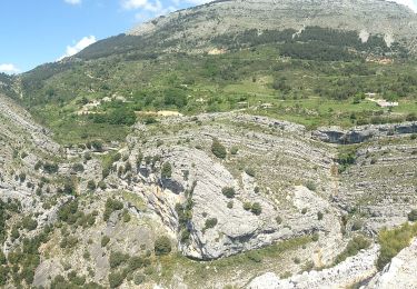
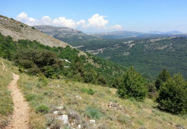
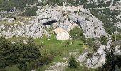
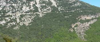
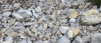
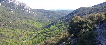
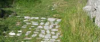
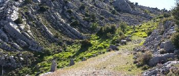
Beautiful loop allowing to leave from the Siagne to the chapel saint Jean at Escragnolles and return with superb points of view

Perfil altimétrico

Fotos

Puntos de interés

Punto de interés Saint-Vallier-de-Thiey - Point 1 - Photo
Palimpseste
SAINT-VALLIER-DE-THIEY 
Punto de interés Saint-Vallier-de-Thiey - La Siagne vers l amont - Photo
Palimpseste
SAINT-VALLIER-DE-THIEY 
Punto de interés Saint-Vallier-de-Thiey - Le pont sur la Siagne - Photo
Palimpseste
SAINT-VALLIER-DE-THIEY 
Punto de interés Saint-Vallier-de-Thiey - Un debut de montee facile - Photo
Palimpseste
SAINT-VALLIER-DE-THIEY 
Punto de interés Saint-Vallier-de-Thiey - Commune d Escragnolles - Photo
Palimpseste
SAINT-VALLIER-DE-THIEY 
Punto de interés Escragnolles - Point 7 - Photo
Palimpseste
ESCRAGNOLLES 
Punto de interés Escragnolles - Du cailloux !!! - Photo
Palimpseste
ESCRAGNOLLES 
Punto de interés Escragnolles - Point 9 - Photo
Palimpseste
ESCRAGNOLLES 
Punto de interés Escragnolles - La RN  dans le lointain - Photo
Palimpseste
Punto de interés Escragnolles - Point 11 - Photo
Palimpseste
ESCRAGNOLLES 
Punto de interés Escragnolles - Point 12 - Photo
Palimpseste
ESCRAGNOLLES 
Punto de interés Escragnolles - L Estérel - Photo
Palimpseste
ESCRAGNOLLES 
Punto de interés Escragnolles - Un chemin plus carrossable - Photo
Palimpseste
Punto de interés Escragnolles - Bientot le sommet - Photo
Palimpseste
ESCRAGNOLLES 
Punto de interés Escragnolles - La chapelle saint Jean - Photo
Palimpseste
Punto de interés Escragnolles - Arivee au sommet - Photo
Palimpseste
ESCRAGNOLLES 
Punto de interés Escragnolles - Point 21 - Photo
Palimpseste
ESCRAGNOLLES 
Punto de interés Escragnolles - Point 22 - Photo
Palimpseste
ESCRAGNOLLES 
Punto de interés Escragnolles - la mer - Photo
Palimpseste
ESCRAGNOLLES 
Punto de interés Escragnolles - Panneau - Photo
Palimpseste
ESCRAGNOLLES 
Punto de interés Escragnolles - le raccourci - Photo
Palimpseste
ESCRAGNOLLES 
Punto de interés Escragnolles - Point 26 - Photo
Palimpseste
ESCRAGNOLLES 
Punto de interés Escragnolles - ruines - Photo
Palimpseste
ESCRAGNOLLES 
Punto de interés Escragnolles - La bifurcation a ne pas rater - Photo
Palimpseste

Localización

País:
France
Región :
Provenza-Alpes-Costa Azul
Departamento/provincia :
Alpes Marítimos
Municipio :
Saint-Vallier-de-Thiey
Localidad:
Unknown
Salida:(Dec)
Salida:(UTM)
323344 ; 4841981 (32T) N.

Comentarios

Por favor conéctese para dejar un comentario o una evaluación


Belle balade, même si la montée est parfois un peu raide avec les pierres


Excursiones cerca

Excursión Senderismo Escragnolles - Casade du Ray (Clars) depuis les Gallants - Photo
Senderismo
Reich

Senderismo

Muy fácil
(1)
Escragnolles, Provenza-Alpes-Costa Azul, Alpes Marítimos, France
938 m | 1,3 km-effort
20min
No
Excursión Senderismo Andon - Canaux Audibergue Montagne de Thiey depuis Canaux trace réelle - Photo
Senderismo
GUIDE
jouans

Senderismo

Muy difícil
Andon, Provenza-Alpes-Costa Azul, Alpes Marítimos, France
20 km | 33 km-effort
7h 23min
Excursión Senderismo Saint-Vallier-de-Thiey - Arche de Ponadieu Source de la Pare Baou Mourine Vieux Pont  - Photo
Senderismo
GUIDE
jouans

Senderismo

Muy difícil
Saint-Vallier-de-Thiey, Provenza-Alpes-Costa Azul, Alpes Marítimos, France
19,2 km | 32 km-effort
7h 20min
Excursión A pie Escragnolles - Plateau de Briasq - Photo
A pie
GUIDE+

A pie

Medio
Escragnolles, Provenza-Alpes-Costa Azul, Alpes Marítimos, France
14,1 km | 22 km-effort
4h 56min
Excursión Senderismo Saint-Vallier-de-Thiey - Grasse - Montagne de Thiey - Photo
Senderismo
GUIDE
Orcal37

Senderismo

Medio
Saint-Vallier-de-Thiey, Provenza-Alpes-Costa Azul, Alpes Marítimos, France
14,9 km | 25 km-effort
4h 54min
Excursión Senderismo Andon - Audibergue depuis Canaux - Photo
Senderismo
ETMU5496

Senderismo

Difícil
Andon, Provenza-Alpes-Costa Azul, Alpes Marítimos, France
20 km | 32 km-effort
7h 19min
Excursión Senderismo Saint-Vallier-de-Thiey - St Vallier : Colle du  maçon doublier  - Photo
Senderismo
ETMU5496

Senderismo

Difícil
Saint-Vallier-de-Thiey, Provenza-Alpes-Costa Azul, Alpes Marítimos, France
18,2 km | 29 km-effort
6h 35min
Excursión Senderismo Saint-Vallier-de-Thiey - St Vallier de Thiey - Col de la Lèque - Chapelle St Jean - Arche Ponadieu - Photo
Senderismo
LtZIP

Senderismo

Medio
Saint-Vallier-de-Thiey, Provenza-Alpes-Costa Azul, Alpes Marítimos, France
14,1 km | 21 km-effort
4h 44min
Excursión Senderismo Saint-Vallier-de-Thiey - St Vallier : Pare2 - Photo
Senderismo
ETMU5496

Senderismo

Difícil
Saint-Vallier-de-Thiey, Provenza-Alpes-Costa Azul, Alpes Marítimos, France
17,7 km | 29 km-effort
6h 35min


Cerrar
Mis suscripciones