


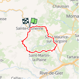

16,8 km | 24 km-effort


Usuario


Aplicación GPS de excursión GRATIS
 SityTrail
IGN / Institutos geográficos
SityTrail World
El mundo es suyo
Ruta Senderismo de 20 km a descubrir en Auvergne-Rhône-Alpes, Ródano, Sainte-Catherine. Esta ruta ha sido propuesta por bouchetaoui.
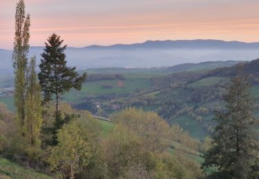
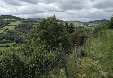
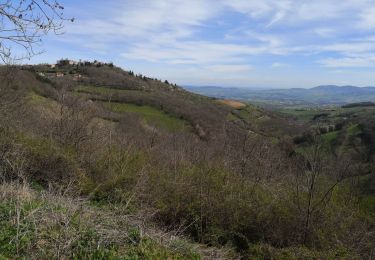
Belle randonnée avec de longs parcours en ligne de crête qui offrent un vaste panorama vers le massif du Pilat.
La difficulté réside dans la longueur du parcours et une montée à l'arrivée sur Riverie.

Senderismo

Senderismo

Senderismo

Senderismo
Senderismo

Senderismo

Senderismo
Senderismo
Senderismo